Easy access
Your travel journalis empty
Damn, your travel book is empty!
Please use the buttonto add a place or an event to your favourites!
Morning
Afternoon
Lac d'Annecy - le port
74000
Annecy
Locate on map
Departure from Annecy - le port
04 79 33 42 47
Grand Chambéry Alpes Tourisme
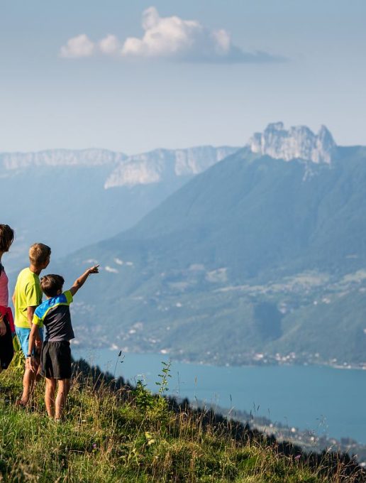
5 days from lake to lake, starting on Lake Annecy itself! An early start to reach the Bauges on the first evening. The Chéran, a "Rivière Sauvage", and the Lac d'Aix-les-Bains complete this discovery of the waters of the Bauges massif.
1/ DAY 1: Annecy (boat link to Doussard) - Bellecombe en Bauges / Duration: 5h50 / D+ 981 m / D- 404 m / Distance: 15 km / Difficulty: Red
2/ DAY 2: Bellecombe - Jarsy / Duration: 4h30 / D+ 403 m / D- 575 m / Distance: 11 km / Difficulty: Blue
3/ DAY 3: Jarsy - Aillon le jeune / Duration: 6h / D+ 1025 m / D- 983 m / Distance: 16.6 km / Difficulty: Red
4/ DAY 4: Aillon le jeune - la Féclaz / Duration: 7h / D+ 1293 m / D- 868 m / Distance: 19 km / Difficulty: Red
5/ DAY 5: La Féclaz - Aix les bains / Duration: 5h40 / D+ 200m / D- 1250 m / Distance: 16.5 km / Difficulty: Blue
From 01/06 to 30/09.
| Elevation gain | 4478 m |
| Dénivellation négative | 4279 m |
| Nature of the ground |
Stone
Ground Not suitable for strollers |
| Way marking | GRP - GR |
| Cartographic references | IGN Top 25 - 3432OT Massif des Bauges IGN Top 25 - 3332OT Chambéry IGN Top 25 - 3431 OT Annecy |
