Easy access
Your travel journalis empty
Damn, your travel book is empty!
Please use the buttonto add a place or an event to your favourites!
Morning
Afternoon

Place de la Gare
Gare SNCF d'Aix les Bains le Revard
73100
Aix-les-Bains
Locate on map
Access to the route is possible and signposted from SNCF stations.
04 79 85 12 45
L'Agence Savoie Mont Blanc
The Tour des Bauges by bike winds its way through the foothills of the PNR of the Bauges massif. A beautiful escape into the heart of varied landscapes, punctuated by the rich heritage of towns and villages to discover during a stopover or a stage.
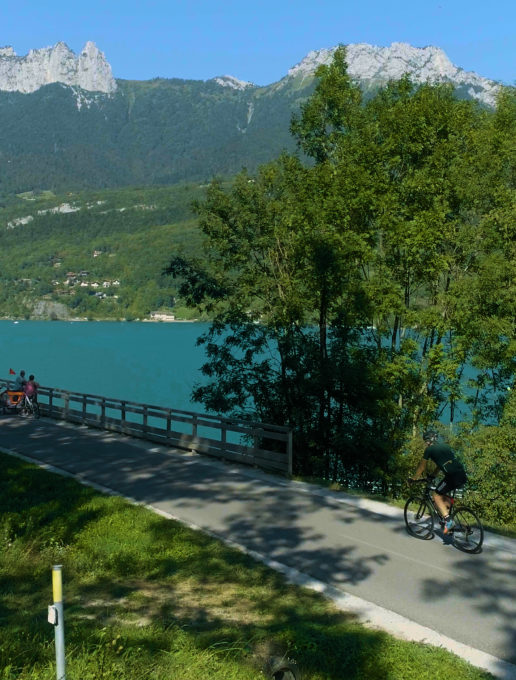
The Tour des Bauges à vélo covers 130 km of the foothills of the Parc Naturel Régional - Géopark du massif des Bauges. A beautiful escape between lakes and mountains in the background, in the heart of an incredible diversity of atmospheres and landscapes punctuated by the rich heritage of towns and villages to discover, according to your tastes, at the mercy of a stopover or a stage.
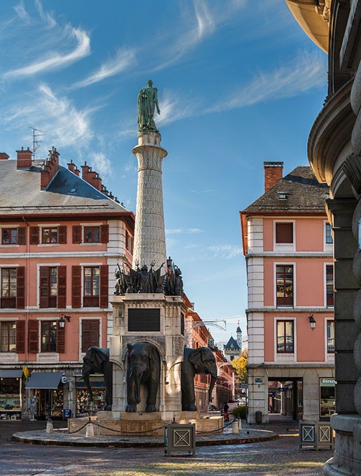
Departing from Aix-les-Bains station, the route reaches the shores and beaches of Lac du Bourget, France's largest natural lake, before arriving in Chambéry, Ville d'Art et d'Histoire. The route continues to Montmélian and Saint-Pierre-d'Albigny, through the vineyards of Cœur de Savoie. It then reaches the Pays d'Albertville, with the Belledonne range in the background, then Ugine, Doussard and the Sources du lac d'Annecy, before reaching Annecy and its old town via Duingt, Saint-Jorioz and Sevrier. Return by train from Annecy station to Aix-les-Bains.
(Cycling to Aix-les-Bains is possible by taking the cycle-discovery route n°51 out of Annecy).
Nb: You can plan your itinerary with a different starting point, accessing the route via the SNCF stations at Chambéry, Montmélian or Albertville, and shaping it as you wish with your choice of stops, visits, stages and overnight stays. You can also discover it over half a day, a day or several days.
All year round.
Subject to favorable weather.
| Elevation gain | 850 m |
| Dénivellation négative | 650 m |
| Nature of the ground | Hard coating (tar, cement, flooring) |
| Way marking | The itinerary follows the V62 and V63 cycle routes between Aix-les-Bains, Chambéry, Montmélian, Albertville, Annecy and can be done in either direction (Aix-les-Bains Annecy or Annecy/Aix-les-Bains). A direct train link between Annecy and Aix-les-Bains will take you to your point of departure. A cycle loop is possible via cycle-touring route no. 51, mostly on departmental roads, which significantly increases the difficulty of the tour (+ 42km, a sporty section with steep hills and no cycle route markers). |
| Cartographic references | TOP IGN 924 - Greenways and Bicycle Routes of France |
| Animaux | Animaux non acceptés |
Additional information on pricing:
L'accès aux véloroutes V62 et V63 est libre et gratuit. En revanche, les prestations associées, comme la location de vélo, les hébergements, restaurants et activités de votre excursion définiront sont payantes. Vous trouverez le détail des tarifs liés à chaque prestation dans les fiches tronçons associées.
