Easy access
Your travel journalis empty
Damn, your travel book is empty!
Please use the buttonto add a place or an event to your favourites!
Morning
Afternoon

Parking du Colombier (à côté du Casino)
73190
Challes-les-Eaux
Locate on map
04 79 33 42 47
Grand Chambéry Alpes Tourisme
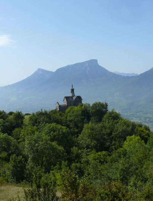
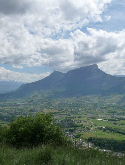
Go for a lovely hike up Le Mont St-Michel, walking in the woods and enjoying various viewpoints. At the top, you will discover the St-Michel Chapel, overlooking the beautiful Savoy Valley and facing other mountain ranges. Up there you can also watch gliders flying around you.
Climb up to the Château des Comtes de Challes (castle) and continue straight on to the end of the tarred road. Turn right and continue going up the main path in the direction of the Ferme de Bellevarde (farm). You pass in front of the "Pelouse Sèche des Plantées" (a Natura 2000 dry grassland site - information board), where a bench allows you to enjoy a superb view. Continue on the uphill trail and pass in front of the Bellevarde Farm (alt 620 m). Don't traverse the pastures and continue to follow the main path. You soon reach the "Col du Joueret" (Joueret Pass) where you have to take the right path, 50 minutes more walking to do. Follow the path which becomes narrow and sinuous until you reach the "Combe du Puits". Follow the itinerary of Le Mont Saint-Michel which joins a wide trail coming from the hamlet of Montmerlet. Take it on the right to reach the summit passing near an old Romanesque chapel. Go back down the same way.
Itinerary No. 4 on the map of Challes-les-Eaux Tourist Office (14 hikes - on sale €4)
Duration: 3.5 hrs
All year round.
| Elevation gain | 600 m |
| Animaux |
Pets allowed
Hosting conditions: Animaux acceptés en laisse uniquement |
Pets welcome

