Easy access
Your travel journalis empty
Damn, your travel book is empty!
Please use the buttonto add a place or an event to your favourites!
Morning
Afternoon
73190
Curienne
Locate on map
04 79 33 42 47
Grand Chambéry Alpes Tourisme
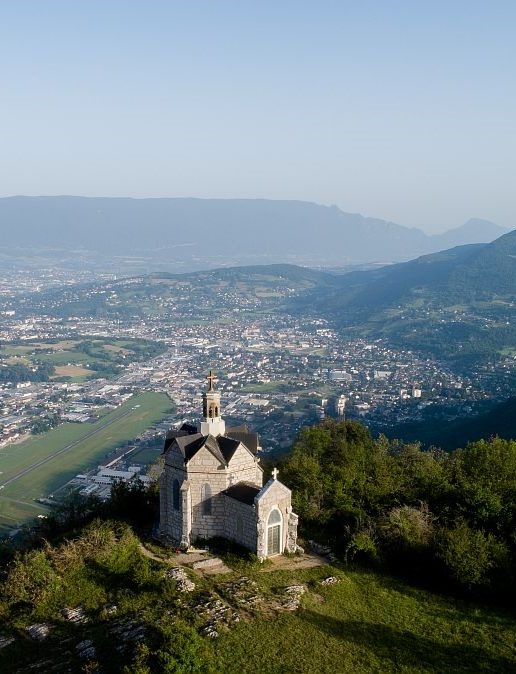
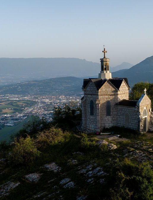
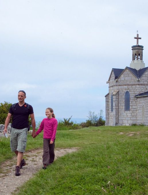
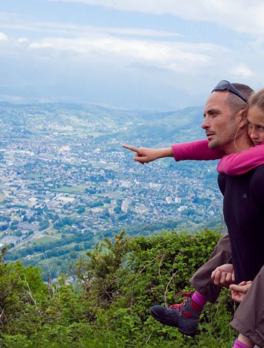
Learn about the history of the Mont Saint Michel chapel and enjoy the 360° views of the surrounding mountains from the top of the chapel.
From the parking lot next to the town hall and school, head towards the church.
Take "Chemin de Bellevarde" on the left of the church, then "Chemin de la cour" on the right. Stay on the road, as cars may arrive at any moment.
After about 150 m, you'll come to a crossroads. Turn left, then after 50 m, take the dirt track on your left.
Continue on this dirt and gravel path for 15-20 minutes, then you'll come to a wider track, turn left.
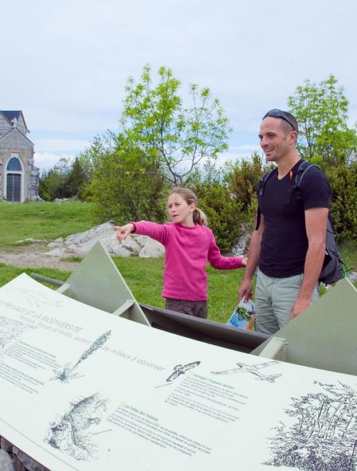
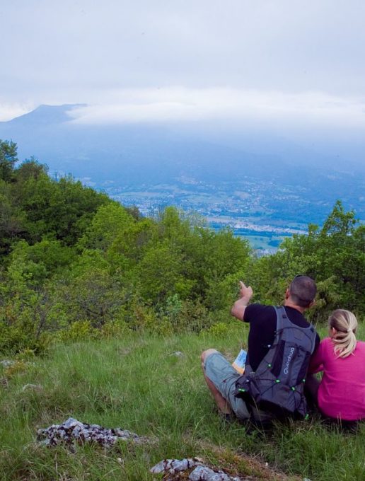
At the information sign for the "La Bognette" take-off site, go up the field and back for a breathtaking 360° view of the surrounding mountains.
Back on the track, continue to the "Le Joueret" sign and turn right towards "Mont Saint Michel", slightly uphill.
At the "La combe du puits" sign, turn right and follow the yellow and green markers to the right, until you reach the "Sous le Mont" sign.
You're almost there, just 10 minutes to go, and a final climb to the chapel of Mont Saint Michel, and a magnificent viewpoint.
Back at the "Sous le Mont" sign, go straight ahead on the slightly sloping path. At the next junction, take the path to the left of the house, but don't go all the way down to the road.
At the end of the path you'll come to a semi-tarmac road, turn left and then directly right at the sign for "Sur Montmerlet".
You'll arrive at the Montmerlet parking lot. Head to the right of the parking lot, and at the watering hole take the path down to the right.
After a few minutes, you'll reach the road again. Stay on the right-hand side of the road for 100 m, then take the path on the right which takes you back into the woods.
At the road, cross opposite onto the stony track, then take the path on the right, towards the wooden sign "direction village".
When you reach the D11, turn right and follow the road for 150 m. Once again, be careful, as this is a busy road.
Follow the "Chemin de Létraz" on your left, where you'll see a stone cross. Cross fields and enjoy a clear view of the mountains.
At the road, turn left and follow it until you reach the church and your vehicle.
Start: from the parking lot, head towards the church. 1/ Take "Chemin de Bellevarde" to the left of the church, then "Chemin de la cour" to the right. 2/ After 150 m, turn left twice. 3/ Continue for 20 minutes, pick up a wider track, then turn left. 4/ At the information sign for "La Bognette" take-off, go up the field (back and forth to the 360° viewpoint). 5/ Continue on to the sign for "Le Joueret", and turn right towards "Mont Saint Michel". 6/ At the sign for "La combe du puits", turn right to the sign for "Sous le Mont". 7/ Go to the Mont Saint Michel chapel (round trip). Go straight on at the "Sous le Mont" sign. At the next junction, take the path to the left of the house. 8/ Join a semi-tarmac track, turn left and right at the "Sur Montmerlet" sign. 9/ At the watering hole in the parking lot, take the path down to the right. 1Start: Follow the road for 100m, then take a path on the right. 11/ At the road, cross in front on the gravel path, then turn right. 12/ Follow the D11 to the right for 150m. 13/ Follow the "Chemin de Létraz" to the left. 14/ At the road, turn left as far as the church.
All year round.
Subject to snow conditions.
| Elevation gain | 212 m |
| Dénivellation négative | 210 m |
| Nature of the ground |
Stone
Ground |
| Way marking | Yellow markings. |
| Animaux |
Pets allowed
Hosting conditions: Pets must be kept on a leash at all times. |
Car park
Defibrillator
Free car park
Pets welcome
Coach access
