Easy access
Your travel journalis empty
Damn, your travel book is empty!
Please use the buttonto add a place or an event to your favourites!
Morning
Afternoon

Centre d'accueil - Aillons-Margériaz 1000
73340
Aillon-le-Jeune
Locate on map
04 79 54 63 65
Les Aillons-Margeriaz Tourist Information Center
Partez sur cette classique de la rando raquettes en Bauges. Le Mont Pelat offre une vue magnifique à 360 degrés.
Start from the Les Ginets car park. Head up towards the finish of the Rochettes chairlift via the Sciaz piste. At the penultimate bend, take the path on your right towards the Morbier farm.
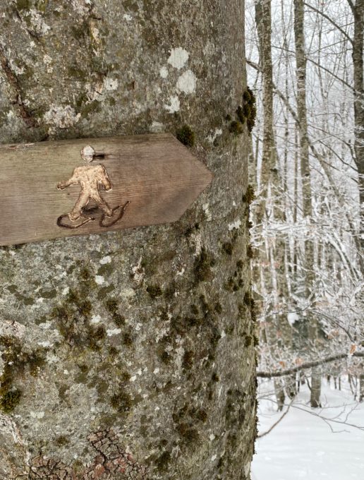
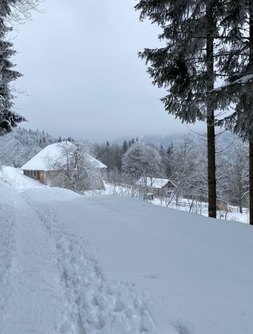
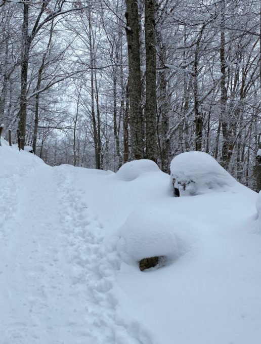
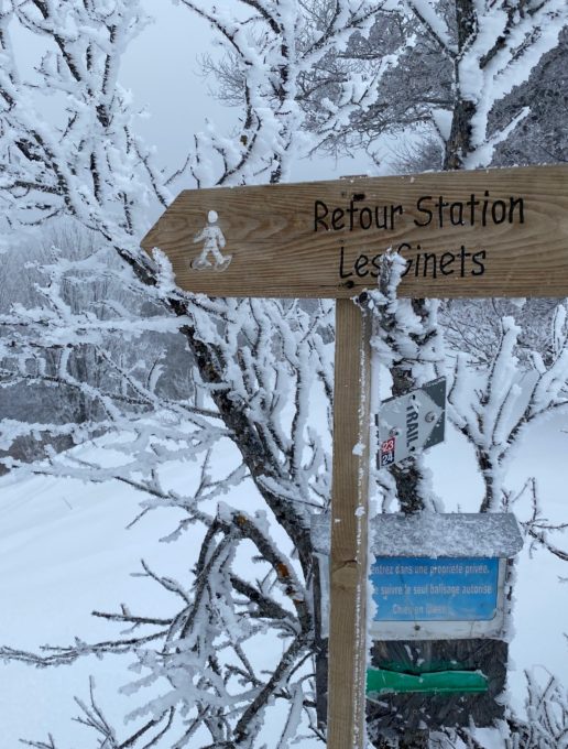
The track is obvious and you follow the snowshoe markers (see photo). Climb steadily through the forest until you reach some clearings. Then, on a downhill slope through an area of spruce trees, a long straight stretch leads to the Morbier farm, an imposing traditional building.
Reach the Col de la Sciaz by climbing steeply on a wide forest track. In the past, iron ore was transported by mule from the Maurienne valley to the Bauges via the Col de la Sciaz. This iron fed a local nail-making industry. From the col, head up the old ski slope towards Mont Pelat. Watch out for cross-country skiers who may be going down the wrong way. A few more steps and you'll reach the chairlift arrival station and a wooden sign indicating that you are at Mont Pelat (1543 m).
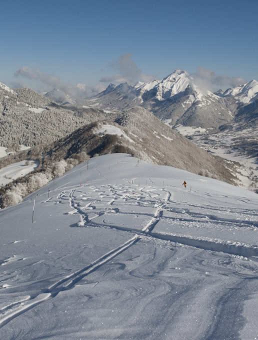
Start the descent towards Pré Conduit, following the old ski runs and then the ridge path through the vegetation. This route offers a beautiful panorama of the great peaks of the Bauges: Colombier, Trélod, Arcalod, Pécloz...
At the Pré Conduit point, descend to the left following the signs. The slope is steep through a beech forest. Before reaching the Mont de la Vierge chalet, turn left to reach the hamlet of Les Ginets. From here, follow the winding road to the Les Ginets car park and then the Aillon-Margériaz 1000 ski resort
0 /Start from the Les Ginets car park. Head up towards the finish of the Rochettes chairlift via the Sciaz piste. At the penultimate bend, take the path on your right towards the Morbier farm.
1/ The track is obvious and you follow the snowshoe markers (see photo). Climb steadily through the forest until you reach some clearings. Then, on a downhill slope through an area of spruce trees, a long straight stretch leads to the Morbier farm, an imposing traditional building.
2/ Reach the Col de la Sciaz by climbing steeply on a wide forest track.
In the past, iron ore was transported by mule from the Maurienne valley to the Bauges via the Col de la Sciaz. This iron fed a local nail-making industry.
3/ From the col, head up the old ski slope towards Mont Pelat.
4/ Watch out for cross-country skiers who may be going down the wrong way. A few more steps and you'll reach the chairlift arrival station and a wooden sign indicating that you are at Mont Pelat (1543 m).
5/ Start the descent towards Pré Conduit, following the old ski runs and then the ridge path through the vegetation. This route offers a beautiful panorama of the great peaks of the Bauges: Colombier, Trélod, Arcalod, Pécloz...
6/ At the Pré Conduit point, descend to the left following the signs. The slope is steep through a beech forest. Before reaching the Mont de la Vierge chalet, turn left to reach the hamlet of Les Ginets. From here, follow the winding road to the Les Ginets car park and then the Aillon-Margériaz 1000 ski resort.
From 01/12 to 02/04.
Subject to snow conditions.
| Elevation gain | 450 m |
| Dénivellation négative | 600 m |
| Tricky sections | Après le point coté Pré conduit, attention dans la descente très marquée si la neige est glacée. |
| Nature of the ground | Non-groomed itinerary |
| Way marking | Présence irrégulière du balisage raquettes sur cet itinéraire. Jusqu'au col de la Sciaz, balisage jaune et rouge du GRP du Massif des Bauges |
| Cartographic references | Map IGN3432OT Top 25 Massif des Bauges |
Car park
