Easy access
Morning
Afternoon

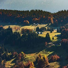
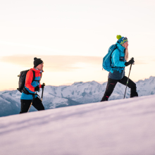
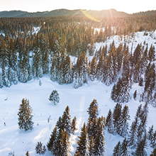
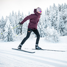
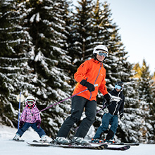
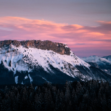
A beautiful trek up Mont Pelat (1,543 m) and its 360° panorama of the peaks of the Massif des Bauges.
You must be in good physical condition to undertake this trek.
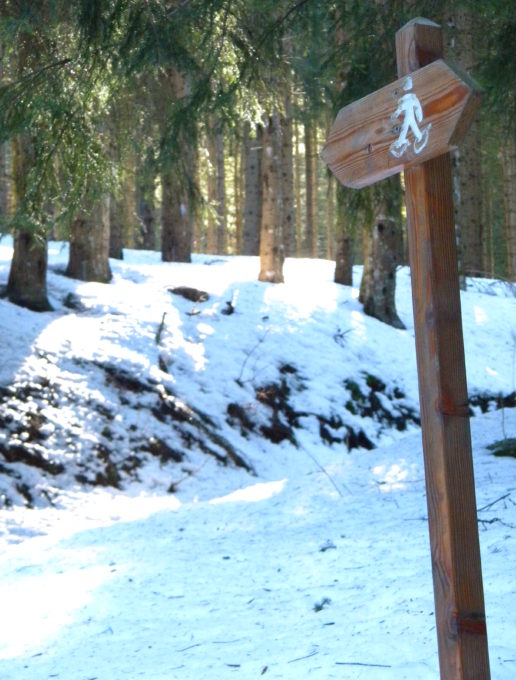
Park in the car park opposite the Nivéoles holiday centre. Follow the road, then turn right onto the summer path just after the swimming pool, signposted "Penon". After a short climb, the path turns left and runs alongside a fir grove to reach the hamlet of Panloup. Go behind the houses to catch up with a path that descends slightly through meadows. At the last fence post, a snowshoe sign indicates Le Penon. Follow the road to the entrance to the hamlet.
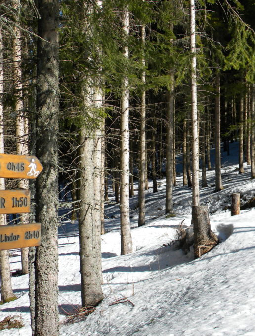
Go up into the hamlet and take the path opposite the pond (alt.1004 m), which climbs up behind the houses. From the outset, the slope is fairly steep and there are few flat stretches. The path goes through undergrowth with a few twists and turns. Be sure to follow the summer markings (yellow arrows on a green background). After the deciduous forest, the route continues under the fir trees. At around 1230m, you come across the track leading from Lindar. You can either head straight for the Morbié building or follow the road. Continue a few metres above the farm to take the path signposted "Mont Pelat 1h30". This takes you up to the Col de la Sciaz 1338 m.
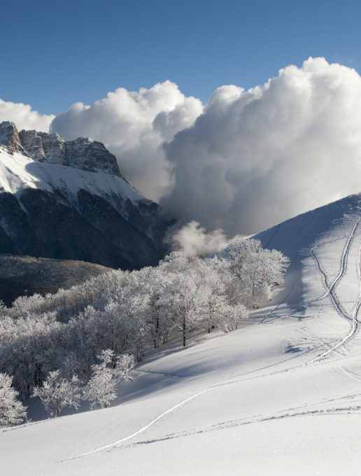
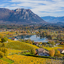
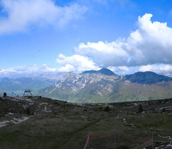
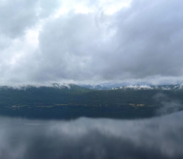
To reach the summit of Mont Pelat, head up the meadow with the steepest gradient (200 m). The last section in sight of the summit is the least steep. As you progress, the panorama spreads out around you: on the right, the Isère valley with the Belledonnes range in the foreground, further north, the Dent d'Arclusaz and the peaks of the Bauges.
To your left, you can see the Aillons-Margériaz 1000 ski resort at the bottom and the Aillons-Margériaz 1400 ski area in the distance. The summit is well worth a visit for a 360° panoramic view. If you wish, you can walk along the small ridge that leads to the summit of Mont Morbié. The return journey takes the same route.
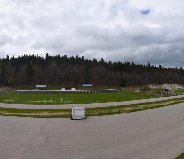
0/ Park in the car park opposite the Nivéoles holiday centre.
1/ Follow the road, then turn right onto the summer path just after the swimming pool, signposted "Penon". After a short climb, the path turns left and runs alongside a fir grove to reach the hamlet of Panloup. Go behind the houses to catch up with a path that descends slightly through meadows. At the last fence post, a snowshoe sign indicates Le Penon. Follow the road to the entrance to the hamlet.
2/ Go up into the hamlet and take the path opposite the pond (alt.1004 m), which climbs up behind the houses. From the outset, the slope is fairly steep and there are few flat stretches. The path goes through undergrowth with a few twists and turns. Be sure to follow the summer markings (yellow arrows on a green background).
3/ After the deciduous forest, the route continues under the fir trees.
At around 1230m, you come across the track leading from Lindar. You can either head straight for the Morbié building or follow the road. Continue a few metres above the farm to take the path signposted "Mont Pelat 1h30". This takes you up to the Col de la Sciaz 1338 m.
4/ To reach the summit of Mont Pelat, head up the meadow with the steepest gradient (200 m). The last section in sight of the summit is the least steep. As you progress, the panorama spreads out around you: on the right, the Isère valley with the Belledonnes range in the foreground, further north, the Dent d'Arclusaz and the peaks of the Bauges.
5/ To your left, you can see the Aillons-Margériaz 1000 ski resort at the bottom and the Aillons-Margériaz 1400 ski area in the distance. The summit is well worth a visit for a 360° panoramic view. If you wish, you can walk along the small ridge that leads to the summit of Mont Morbié. The return journey takes the same route.
From 15/12 to 15/04.
Subject to snow conditions.
| Elevation gain | 660 m |
| Nature of the ground | Non-groomed itinerary |
| Way marking | Panneaux bois avec logo raquettes |
| Cartographic references | Map TOP 25 IGN 3432 OT, Massif des Bauges |
| Animaux |
Pets allowed
Hosting conditions: Tenus en laisse. |
Pets welcome