Easy access
Your travel journalis empty
Damn, your travel book is empty!
Please use the buttonto add a place or an event to your favourites!
Morning
Afternoon

Aillons-Margériaz 1000
Parking à proximité du centre d'accueil des Aillons-Margériaz 1000
73340
Aillon-le-Jeune
Locate on map
04 79 54 63 65
Les Aillons-Margeriaz Tourist Information Center
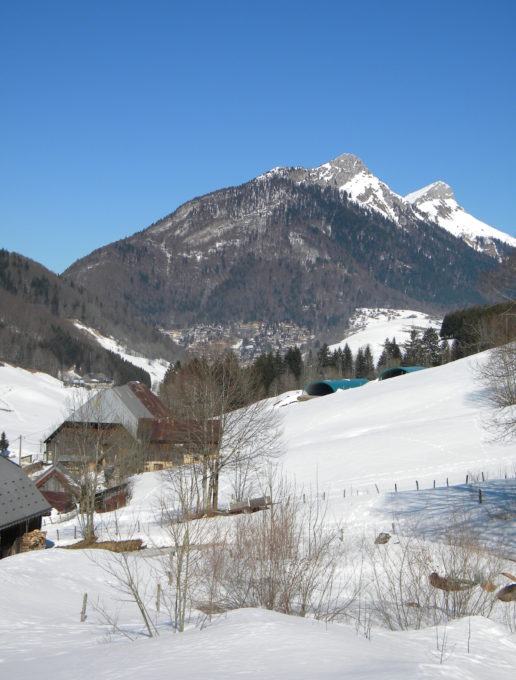
Short incursion at the entrance to the Lindar valley, away from the departmental road, to learn snowshoeing, discovering the hamlets of Panloup and Penon. No difficulty.
ou can set off from the Visitor Centre (2h round trip)
Walk along the road, then turn right onto the summer path just after the swimming pool, signposted "Penon: 45'". After a short climb, the path turns left and runs alongside a fir grove to reach the hamlet of Panloup. Go behind the houses to catch up with a path that descends slightly through meadows. At the last fence post, a snowshoe sign points you in the right direction. Cross the field parallel to the road towards a large, isolated fir tree. After crossing the stream, you will come across another sign. Go downhill along the stream. Pass behind the houses and continue in the same direction until you reach the Route du Lindar, the starting point for many snowshoeing itineraries.
Return by the same route or by road.
0/ You can set off from the Visitor Centre (2h round trip).
1/ Walk along the road, then turn right onto the summer path just after the swimming pool, signposted "Penon: 45'". After a short climb, the path turns left and runs alongside a fir grove to reach the hamlet of Panloup.
2/ Go behind the houses to catch up with a path that descends slightly through meadows.
3/ At the last fence post, a snowshoe sign points you in the right direction.
4/ Cross the field parallel to the road towards a large, isolated fir tree. After crossing the stream, you will come across another sign.
5/ Go downhill along the stream. Pass behind the houses and continue in the same direction until you reach the Route du Lindar, the starting point for many snowshoeing itineraries.
6/ Return by the same route or by road.
From 15/12 to 15/04.
Subject to snow conditions.
| Elevation gain | 80 m |
| Nature of the ground | Non-groomed itinerary |
| Way marking | Panneau bois avec logo raquettes |
| Cartographic references | Map IGN3432OT Top 25 Massif des Bauges |
| Animaux |
Pets allowed
Hosting conditions: Tenus en laisse. |
Pets welcome


