Easy access
Morning
Afternoon

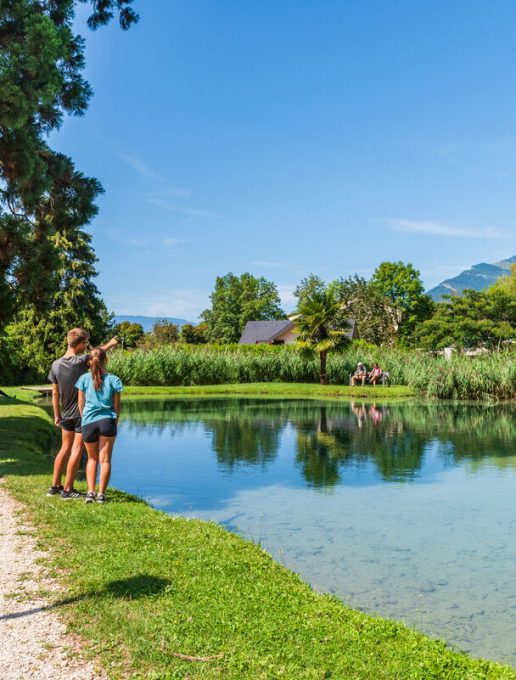
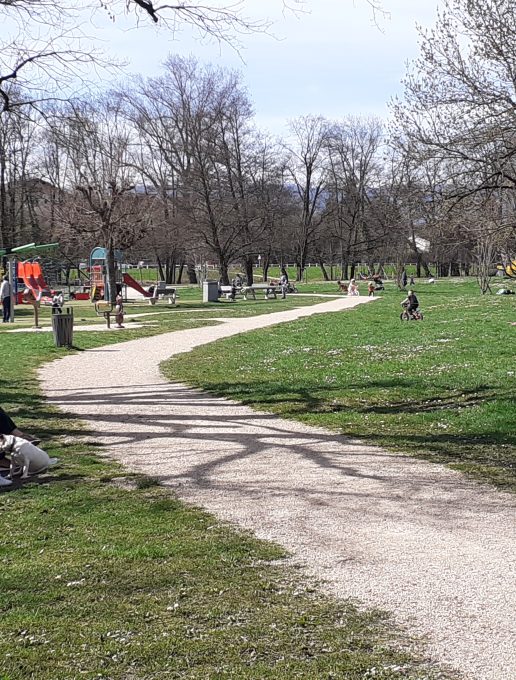
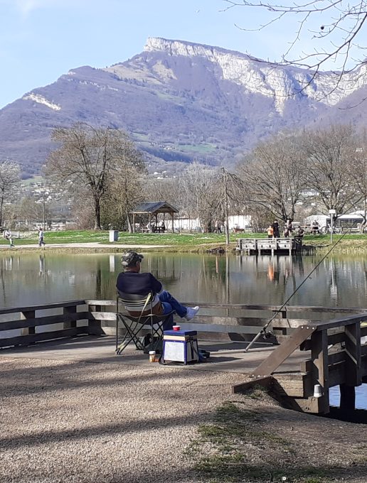
A PMR walk for families of all ages to enjoy a relaxing get-together in the heart of Challes-les-Eaux. The walk allows you to explore the history of the commune and why not extend the stroll to the forest-sports trails.
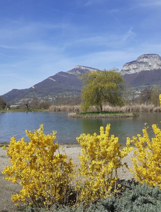
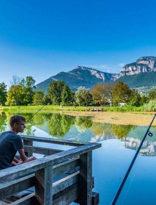
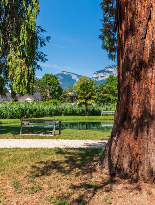
At the foot of the Bauges massif, classified as a Regional Nature Park and designated a Unesco World Geopark, Challes-les-Eaux is a town of water: the Mère and Furieuse streams and wetlands mark the town's identity. Along the trail, which is accessible to all and surrounded by greenery, you can travel back in time to the Chateau du Triviers and observe traces of the town's history. Benches and picnic tables line the route for pleasant relaxation breaks, in the shade under the trees in summer, or in the sun on the paths to warm you up in winter.
All year round.
| Elevation gain | 15 m |
| Nature of the ground |
Suitable for city strollers
Suitable for all terrain strollers |
| Way marking | Pictogram Promenade Confort |