Easy access
Morning
Afternoon

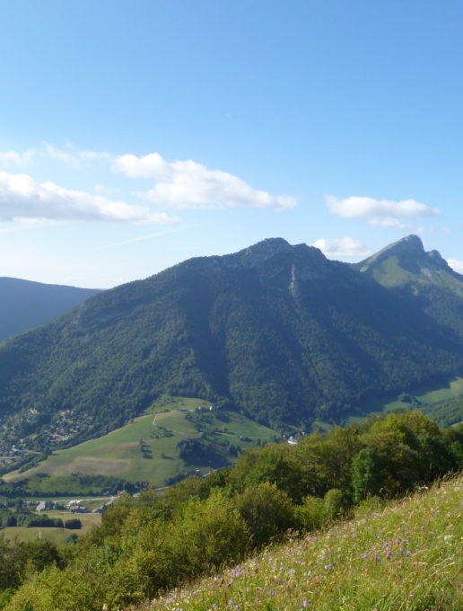
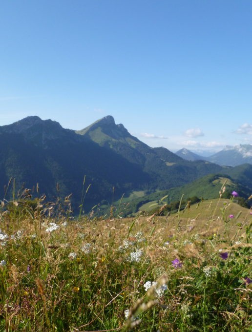
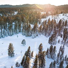
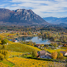
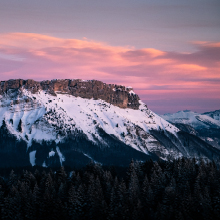
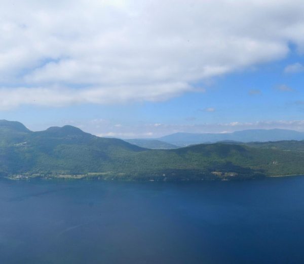
A steady hike from the village resort with a steeper final section up to the top of the ski area in Les Aillons-Margériaz 1000 at an altitude of 1,543 m. From the summit, there are beautiful panoramic views of Le Massif des Bauges.
Starting from the car park, take the path leading into the woods to avoid the tarmac road. This path comes out on the Sainte Anne track (National Park signpost). Carry on up this track for approximately 1km. As the track bends to the left at the bottom of the Mont Pelas chairlift (altitude 1,130 m), take the path to the right signposted "Morbié 45 min - Col de la Sciaz 1h05".
At around 1,245 m, go through an enclosure (waymarked with yellow arrows) and continue straight ahead (south).
The track follows a power line and comes out in Morbié (1,250 m).
From the Morbié Farm, ascend to Le Col de la Sciaz (20 minutes), then up to Le Mont Pelat (National Park way-markers, 1 hour).
From 01/05 to 31/10.
| Elevation gain | 532 m |
| Cartographic references | Map IGN3432OT Top 25 Massif des Bauges |
| Animaux | Pets allowed |
Pets welcome