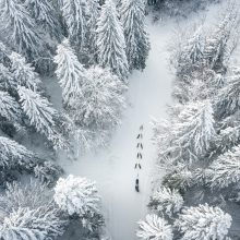
Easy access
Morning
Afternoon

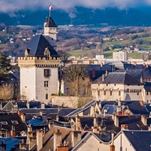
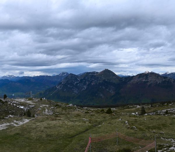
This itinerary is an invitation to discover the local heritage, landscapes and views of the commune, the Cluse de Chambéry, the Bauges massif and the Chartreuse massif.
D/ Leaving the parking lot opposite the church, turn right 50 m further on into Route de l'Oseraie.
1/ Pass the Salle des Fêtes and turn left onto the stone path just after the parking lot. Halfway along, the view opens up to the Chaine de l'Épine, with the Col de Saint Michel opposite and the Col du Crucifix on the right.
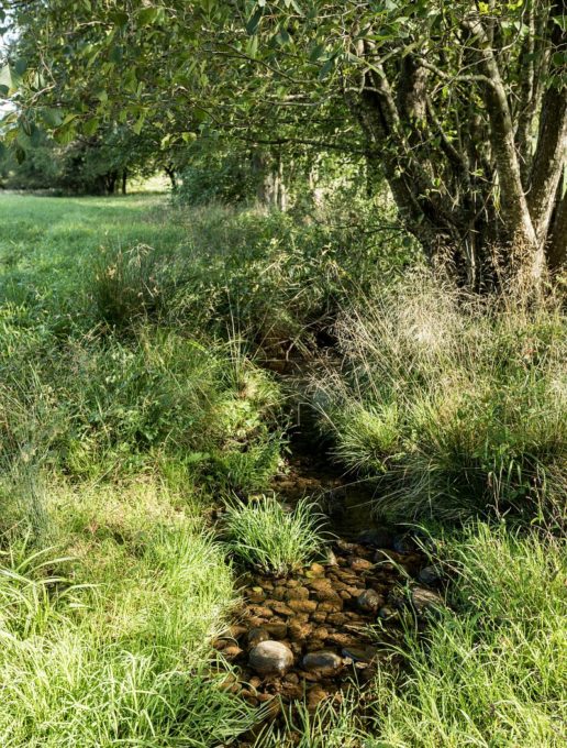
2/ 1 km from the start, turn right into the impasse de Buisson Rond, downhill towards the Forézan stream, which flows through molasse cliff gorges to Cognin.
3/ Continue on Chemin du Lard and at the crossroads turn right into Impasse de Cote Pollet.
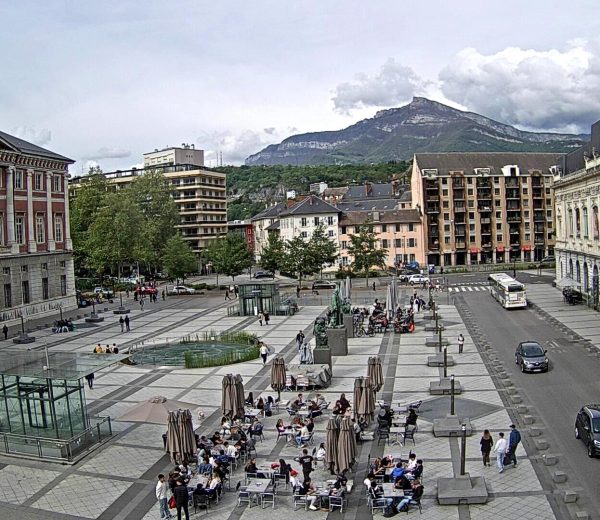
4/ Take the Chemin du Lard à la Fougère on the left, leaving the Chemin de Saint Michel on your right, leading to the Col de Saint Michel. As you climb up the stone path, take a break and enjoy the view over the commune and the Chambéry Cluse.
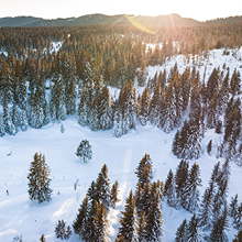
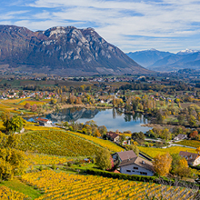
5/ Continue along the path through the Lard forest, home to chestnut, cherry, oak, beech and spruce trees. Continue left to reach the hamlet of La Fougère, before crossing the talweg of the Forézan spring. The path in this area is narrow and steep. At the end of the forest, after the 3rd kilometer, you come to the Tallera plateau before the hamlet of La Fougère, and the view opens out onto the Chartreuse massif.
6/ Continue along the path until you reach the entrance to the hamlet of La Fougère. On your left, you'll see the communal bread oven still in use.
7/ Turn left, leaving a dried-up fountain in poor condition on your right. Continue on Chemin de Labet and then turn left onto Route de la Fougère to descend to the hamlet of La Mollière, passing the site of La Meulière, a former molasse quarry used to make millstones for grinding grain.
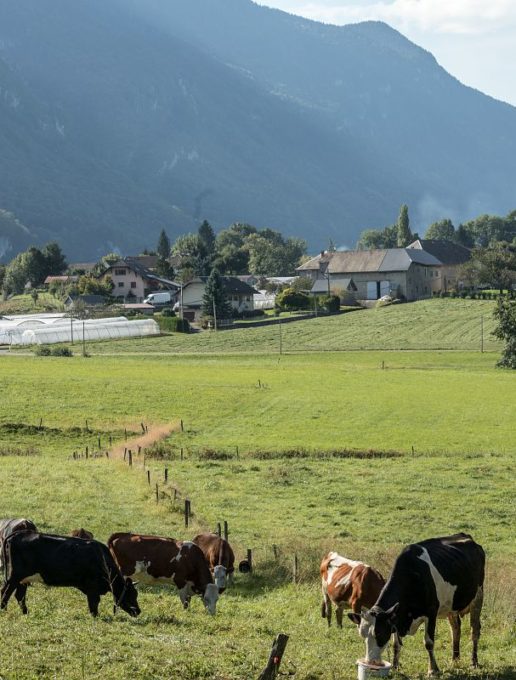
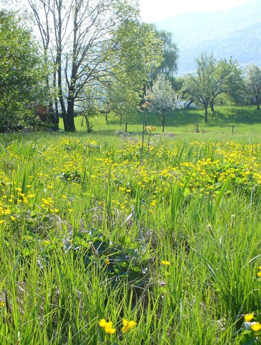
8/ On the descent to La Mollière, you can see the church, your starting point, and the Vimines plateau, with its orchards, market gardens and pastures. Turn left onto the Chemin de la Mollière to reach the hamlet of Monzin. Cross the road to take the route du Sous Mollard, with the Monzin wetland on your right.
This protected area is home to many bird species, including wood pigeon, red-backed shrike, oak jay and grey heron.
9/ Nearby, cross the Crouze stream before heading back up towards the Chef Lieu.
All year round.
Subject to favorable weather.
| Elevation gain | 200 m |
| Tricky sections | Le sentier est étroit dans la forêt entre les hameaux du Lard et de la Fougère. |
| Cartographic references | Carte IGN TOP 25 IGN 3333OT Chartreuse Nord |
| Animaux |
Pets allowed
Hosting conditions: We strongly recommend that you keep your dogs on a leash, especially when approaching farms and crossing protected wetlands. |
Pets welcome