Easy access
Morning
Afternoon

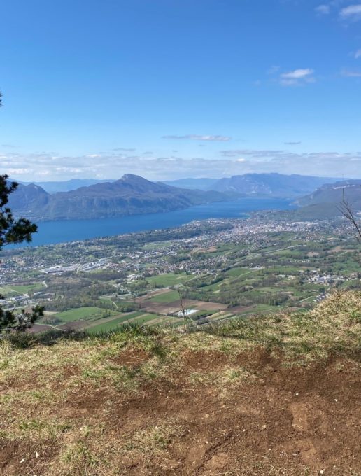
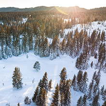
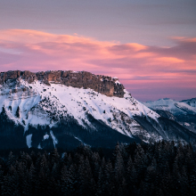
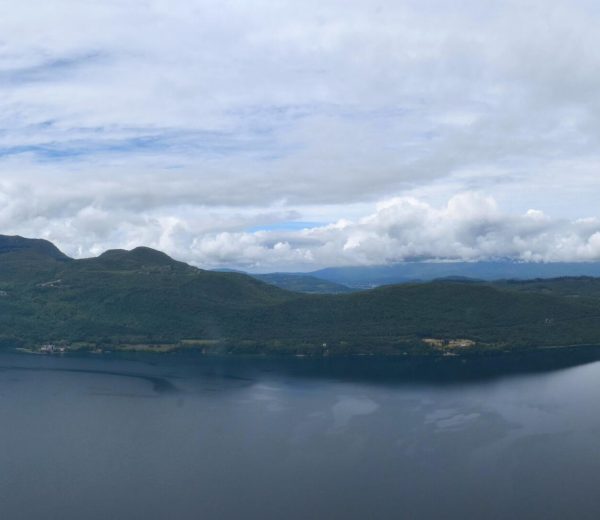
Stroll across the pretty Pragondran plateau overlooked by the Croix du Nivolet and its cliffs. Admire the view over Lac du Bourget, which will give you plenty of ideas for swimming after this easy, panoramic hike!
D/ Car park in the Pragondran hamlet (at the end of the D8 road)
1/ At the entrance to the village, pass a fountain and leave the rue de l'école to go straight up into the hamlet. At the next intersection, take the Chemin de l'Essarts towards the paragliding departure point.
2/ At the point marked "Le Replat", turn right to reach the paragliding launch area a little further up.
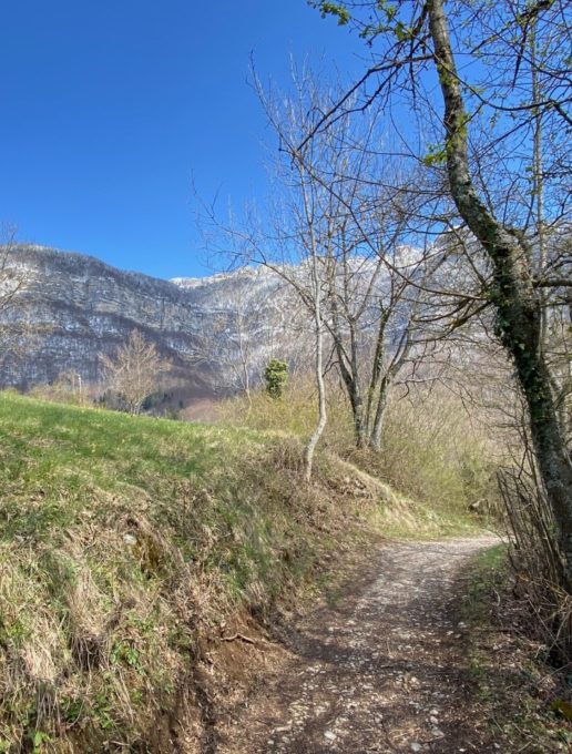
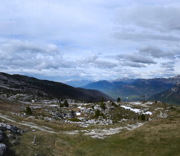
3/ Follow the path as it gradually rises to reach the ridge. Beware of cliffs, especially on windy days.
4/ At the sign for "Le Malpassant" (alt. 955m), fork right onto a wide track. Turn right again to start the descent to Pragondran. Halfway down, the track has been paved all the way to the hamlet.
All year round.
Subject to favorable snow and weather conditions.
| Elevation gain | 175 m |
| Tricky sections | Attention à la proximité des falaises avant l'arrivée au Malpassant |
| Nature of the ground |
Stone
Ground Not suitable for strollers |
| Animaux |
Pets allowed
Hosting conditions: Pets allowed on leash only. |
Pets welcome