Easy access
Your travel journalis empty
Damn, your travel book is empty!
Please use the buttonto add a place or an event to your favourites!
Morning
Afternoon
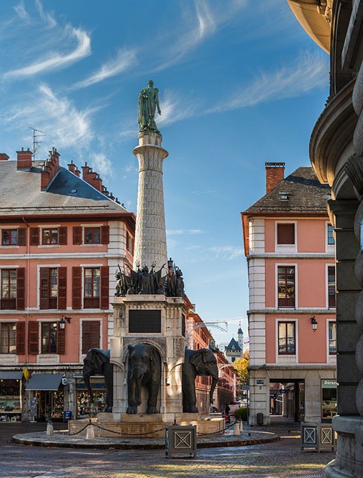
Nouveau parking du Pissieu
73630
Le Châtelard
Locate on map
04 79 54 84 28
Grand Chambéry Alpes Tourisme
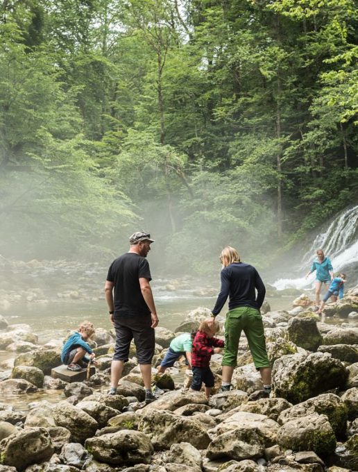
Introduce your children to a geosite? In other words, get your feet wet at the Pissieu waterfall! It's a great way to learn while having fun, and enjoy the coolness of the site...
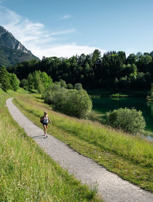
At the start, we calmly take the wide track on the edge of the forest, accompanied by the song of the stream.
After a while, we hear a noise. It's just a dull rumble in the distance. Growing louder.
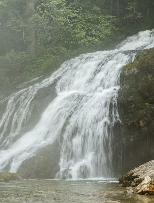
Then it's the fresh spray on our faces that lets us know it's just around the corner. And there it is, the cascade du Pissieu!
All the water from the Margeriaz plateau rushes here through a gigantic underground network (79km known, including the tanne du Cochon, which descends 825 metres into the mountain!) and rushes over the rocks, precipitating the droplets into a cold, noisy cloud.
A refreshing sight, especially on a day after heavy rain. What fun it is to get as close to the waterfall as possible, hopping from rock to rock.
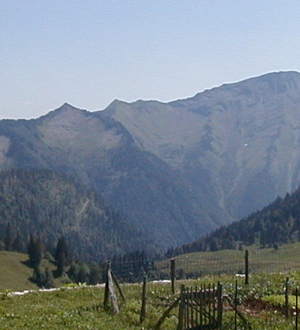
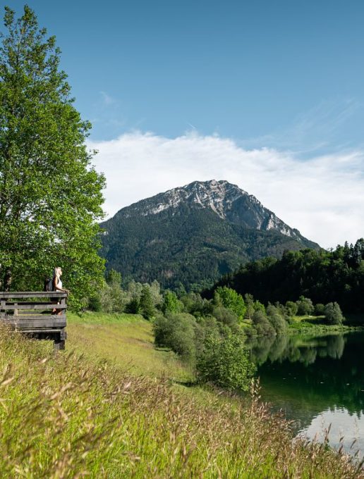
As you gain height, the route invites you under the protective shade of the trees. Alternating between balconies, it offers beautiful views of the surrounding mountains.
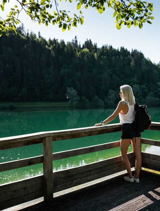
The return journey is also cool, to the Châtelard lake. Why not finish the hike with a dip?
D/ New Pissieu parking lot
1/ Reach the Nant d'Aillon bridge via the Picot comfort walk.
2/ The path to the waterfall, indicated by a sign, starts at road level. A wide path leads up the valley.
3/ Pass by the old farmhouse and continue straight on to the waterfall.
>>The Pissieu waterfall is formed just downstream from a spring that drains most of the rain and snowmelt from the Margériaz plateau.>> The Pissieu waterfall is formed just downstream from a spring that drains most of the rain and snowmelt from the Margériaz plateau.
4/ To continue the loop, retrace your steps and turn left up a steep track until you cross the D59 road. Cross the road and take the path below.
5/ The itinerary continues through the forest on a path with little difference in altitude, offering occasional views of the surrounding mountains.
6/ In the meadows above the hamlet of Rossillon, leave this balcony path and descend to the right, where the path leads to the road, passing a farm.
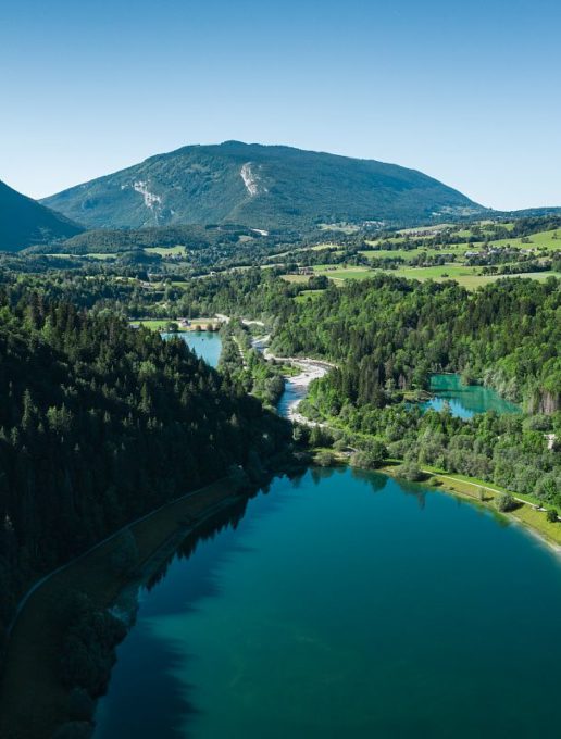
7/ After crossing the road, the path continues down through the woods to reach the Chéran and its lakes.
Walk upstream alongside the fishing lake until you reach the parking lot.
Toute l'année : ouvert tous les jours.
| Elevation gain | 190 m |
| Tricky sections | Un court passage raide sur cette boucle familiale |
| Nature of the ground | Not suitable for strollers |
| Way marking | Circuit balisé jaune et vert et pancartes. |
| Cartographic references | TOP 25 IGN 3432 OT, Massif des Bauges |
| Animaux | Pets allowed |
Pets welcome
