Easy access
Your travel journalis empty
Damn, your travel book is empty!
Please use the buttonto add a place or an event to your favourites!
Morning
Afternoon
Parking du petit reposoir
73340
Bellecombe-en-Bauges
Locate on map
04 79 54 84 28
Grand Chambéry Alpes Tourisme - Accueil du Châtelard
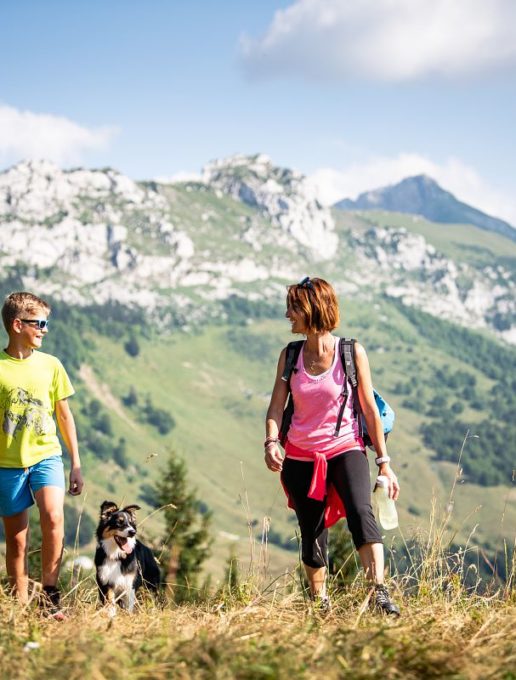
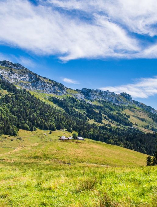
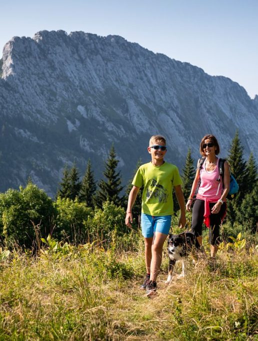
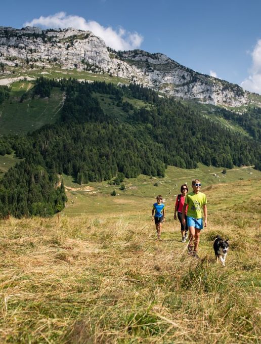
A walk through alpine pastures and forests offering magnificent viewpoints.
Start - Parking du petit reposoir
1/ Continue on foot along the tarmac road then, shortly after the barrier that closes off the route to vehicles, take a path that descends to the right to reach the hamlet of "Mont Devant".
2/ Head for the hamlet of "Mont-Derrière" along the GRP (red and yellow markings), then in the middle of the hamlet, follow the signs for "col de la frasse - promenade du Char".
3/ Further up the mountain pasture, the path forks to the right before the chalets. From here, it takes around half an hour to reach the crêt du Char. Take care when crossing the rocky ridge.
4/ From the Crêt du Char mountain pastures, there is a challenging return route to the cross on the Four Magnin rock (an aerial route over a rocky ridge, not recommended for those prone to vertigo).
5/ Back at the Crêt du Char mountain pasture, head for the Col de Bornette.
[From this point, you can return to the car park by following "le reposoir" on the GRP (red and yellow markings). Approximately 3km and 160m less ascent].
6/ Continue along the track to "Golet".
7/ From Le Golet, follow the tarmac road to "le Reposoir" and then the car park.
Départ - Parking du petit reposoir
1/ Poursuivre à pied sur la route goudronnée puis, peu après la barrière qui ferme le passage aux véhicules, emprunter un sentier qui descend sur la droite pour rejoindre le hameau "Mont Devant".
2/ Gagner le hameau "Mont-Derrière" par le GRP (balisage rouge et jaune), puis au milieu du hameau, suivre la direction "col de la frasse - promenade du Char".
3/ Plus haut dans l'alpage, le sentier bifurque sur la droite avant les chalets. De là, compter environ une demi-heure pour rejoindre le crêt du Char. La prudence est de mise pour traverser la barre rocheuse.
4/ Depuis les alpages du crêt du Char, un aller-retour sportif permet d'atteindre la croix du roc du Four Magnin (parcours aérien sur une crête rocheuse, déconseillé aux personnes sujettes au vertige).
5/ De retour aux alpage du crêt du Char, prendre direction le col de Bornette.
[De ce point, retour au parking possible en suivant "le reposoir" par le GRP (balisage rouge et jaune). Environ 3km et 160m de dénivelé de moins].
6/ Poursuivre la piste jusqu'au "Golet".
7/ Du Golet, rejoindre "le Reposoir", puis le parking par la route goudronnée.
From 01/05 to 31/10.
Subject to favorable weather.
| Elevation gain | 738 m |
| Tricky sections | Arête rocheuse aérienne pour rejoindre la croix sommital (optionnelle). |
| Way marking | Balisage "promenade du Char" |
| Cartographic references | TOP 25 IGN 3432 OT Massif des Bauges |
| Animaux | Pets allowed |
Pets welcome
