Easy access
Your travel journalis empty
Damn, your travel book is empty!
Please use the buttonto add a place or an event to your favourites!
Morning
Afternoon

Centre d'accueil - Aillons-Margériaz 1000
73340
Aillon-le-Jeune
Locate on map
In July and August, access is possible via the Synchro Montagne shuttle bus, getting off at the "Aillons 1000" stop. Further information at synchro.grandchambery.fr/synchro-montagne/.
From the Aillon 1000 stop, at the roundabout, take the bridge over the Fullie stream to the visitor center parking lot.
04 79 54 63 65
Grand Chambéry Alpes Tourisme
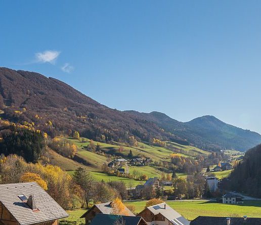
A gradual hike from the Aillons-Margériaz 1000 station to the top of the ski area, at 1543 m altitude. At the summit, a magnificent panorama of the Massif des Bauges awaits you! The return trip over the ridges extends the pleasure.
D/ Visitor center parking lot
1/ Follow the road north-east to the end. Turn right on a path rising through the meadows to a track, then right again on this track. You will pass several ski lifts.
2/ At a bend to the left before the Mont Pelat chairlift (alt. 1130 m), turn right onto the path indicated by the sign: "Morbié 45 min - Col de la Sciaz 1h05."
3/ At around 1245 m, cross an enclosure (yellow arrows) and continue straight ahead (southbound).
The path follows a power line to Morbié (alt. 1250 m).
4/ From Morbié farm, climb to Col de la Sciaz (20') and then to Mont Pelat (PNR signposting, 1h). Continue north along the ridges to Pré Condut. From here, a path descends on your left towards the Mont de la Vierge chalet.
5/ Once you've reached the chalets, continue down the path through the meadows to "Les Ginets".
6/ Return to the parking lot by the original route.
------------------------------------------------------------------------------------------------------------
This itinerary takes you through mountain pastures. Herds may be present. Remember to close the gates behind you to prevent the animals from escaping.
If you have a dog, keep it on a leash to avoid frightening the herd.
D/ Visitor center parking lot,
1/ Follow the road north-east to the end. Turn right on a path rising through the meadows to a track, then right again on this track. You will pass several ski lifts.
2/ At a bend to the left before the Mont Pelat chairlift (alt. 1130 m), turn right onto the path marked "Morbié 45 min - Col de la Sciaz 1h05.
3/ At around 1245 m, cross an enclosure (yellow arrows) and continue straight ahead (southbound).
The path follows a power line to Morbié (alt. 1250 m).
4/ From Morbié farm, climb to Col de la Sciaz (20') and then to Mont Pelat (PNR signposting, 1h). Continue north along the ridges to Pré Condut. From here, a path descends on your left towards the Mont de la Vierge chalet.
5/ Once you've reached the chalets, continue down the path through the meadows to "Les Ginets".
6/ Finally, return to your original route and return to the parking lot.
From 01/05 to 31/10.
Subject to favorable snow and weather conditions.
| Elevation gain | 626 m |
| Cartographic references | Carte TOP 25 IGN 3432 OT - MASSIF DES BAUGES |
| Animaux | Pets allowed |
Free car park
Car park
Public WC
Pets welcome
