Easy access
Morning
Afternoon

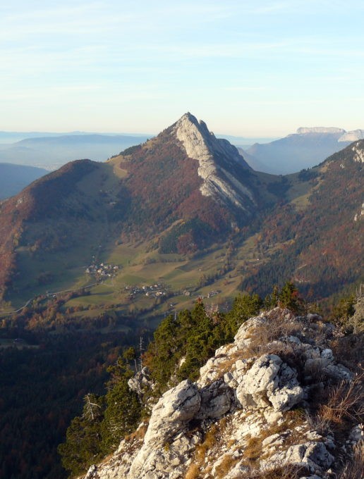
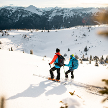
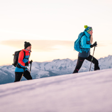
This summit with a modest altitude offers a stunning panorama of the valley. Be careful on the passages in the steep rocks during the last metres of the climb.
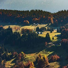
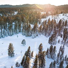
From the village of Châtelard, make your way to the hamlet of Les Garins (road opposite the pharmacy). Park at the end of the road. Take the track (white-red/GR 96) which rises into the meadows, passing close to two stone chalets (gite/refuge). After 3 hairpin bends, the track comes back on the mountainside towards "Col du Plane". Then get off it for a steep path on your right. Higher up, turn off towards the left. You walk on the ridge in the forest and through the rocks which are pleasant and easy to climb. You are now overlooking the Doucy Valley and its villages at the foot of the imposing mass of Trélod Mountain. After the first peak (1,645 m), follow the ridge up to the summit. Go back down via the same route until the forestry road then find, opposite the junction to the forestry track, the old path which descends directly to the Gîte des Garins.
D/ Hameau des Garins.
1/ Empruntez la piste (blanc-rouge / GR96) qui s'élève dans les prés, passant près de deux chalets en pierre (gîte/refuge).
2/ Après 3 épingles, la piste revient à flanc en direction du Col du Plane. Quittez la pour un chemin raide sur la droite.
3/ Plus haut obliquez à gauche. Vous rejoignez la crête, en forêt puis dans des rochers faciles et agréables à escalader.
D'ici vous dominez la vallée de Doucy et ses villages au pied de la masse imposante du Trélod.
4/ Après une première antécime (1645 m), poursuivez la crête jusqu'au sommet (1672 m).
5/ Redescendez par le même itinéraire jusqu'à la route forestière puis trouvez (en face du débouché sur la piste forestière) l'ancien chemin qui descend en direct jusqu'au Gîte des Garins.
From 05/01 to 10/31 : open daily.
| Elevation gain | 560 m |
| Tricky sections | Attention aux passages raides dans les rochers dans les derniers mètres. |
| Animaux | Pets allowed |
Pets welcome