Easy access
Your travel journalis empty
Damn, your travel book is empty!
Please use the buttonto add a place or an event to your favourites!
Morning
Afternoon

Lieu-dit Le Fournet (alt. 1.043 m) - sur la D 206
2 km avant le Col des Prés
73230
Thoiry
Locate on map
04 79 54 63 65
Grand Chambéry Alpes Tourisme
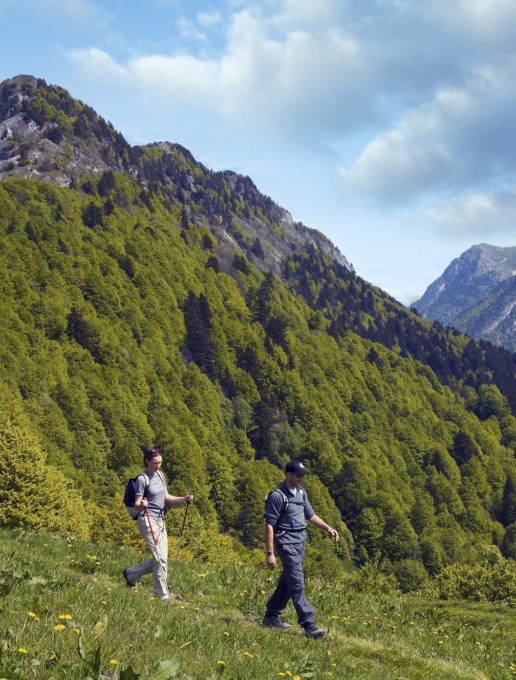
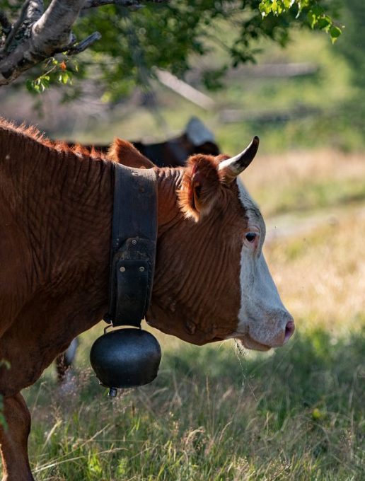
Without galloping, but at your own pace, why not take a walk up to the small pyramid-shaped summit so easily recognizable in the southern Bauges? The cows are waiting for you there, and you can enjoy a magnificent view over the Chambéry valley.
The hike begins quietly in the protective shade of the forest. But once you've warmed up, things get serious, and you'll need stamina for the steep climb that follows.
You've now done the hard part, and the slope becomes gentler as you enter the mountain pastures. In fine weather, take advantage of the thousands of wildflowers that brighten up the meadows, including the yellow gentian with its medicinal properties.
This is the Grande Montagne de la Buffaz. Imagine the activity that once reigned here in summer, when men and cows were on alpine pasture.
You continue in this alpine atmosphere to the pointe de la Galoppaz. Here, you'll discover the highest peaks in the Bauges at over 2,000 m altitude: le Colombier, le Trélod, l'Arcalod, the view is magnificent.
As you make your way down the grassy slope of the Sevenne, you come across the Petite Montagne chalets of the Côtes de Marles. They too were used for dairy farming, but in a more family-oriented setting.
Start: from the Fournet parking lot, follow the track down to the stream and then up 600m to the intersection 1/ Turn left towards Pointe de la Galoppaz. Shortly after the Chalet de l'Allier, turn right 2/ The path winds up through the forest and comes out on a flat area (fence) 3/ Continue due south to the Chalet de la Buffaz 4/ then towards the Col de la Buffaz 5/ The path climbs up through pastures and crosses a fence to reach the summit pasture 6/ Easily reach the Pointe, back and forth, go down the small hillock and turn right on the grassy slope. Follow a direct trail to the bottom of the slope 7/ At the level near the forest, follow a faint trail to the right. Cross a fence, and after 2 hairpin bends, leave a first path on the left, and continue straight ahead. 8/ Continue to the Col de Combe Servenne, which joins the GR de pays. 9/ Turn right on a wide track, north-east to the initial intersection, and return to the parking lot.
From 01/06 to 01/10.
Subject to favorable weather.
| Elevation gain | 640 m |
| Nature of the ground |
Stone
Ground |
| Cartographic references | Walks and hikes, Chambéry urban area. IGN Top 25 - 3432OT. |

