Easy access
Your travel journalis empty
Damn, your travel book is empty!
Please use the buttonto add a place or an event to your favourites!
Morning
Afternoon

Parking Plateau Sud
73230
La Féclaz
Locate on map
In July and August, access is possible via the Synchro Montagne shuttle buses, getting off at the "La Féclaz - Centre station" stop. More information at synchro.grandchambery.fr/synchro-montagne/.
From the "La Féclaz - Centre station" bus stop, take the Plateau Sud road and continue downhill without changing direction until you reach the Chalet de l'Aurore.
04 79 25 80 49
Grand Chambéry Alpes Tourisme
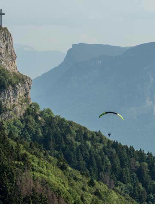
Starting from the southern plateau, this easy, shady walk takes you up to the emblematic Croix du Nivolet overlooking Chambéry. Look up for an exceptional 360° aerial panorama.
D/ Car park on the south plateau at La Féclaz
1/ Join the Chalet de l'Aurore then follow the signs for the Chalets de Glaise.
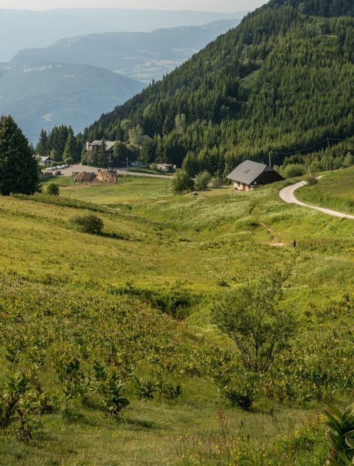
2/ After a few houses, turn right. You'll soon be treading over the large expanses of pastureland on the plateau.
3/ At the Glaise sign, continue left and enter the forest.
A wide forest track will guide you to the summit.
4/ A clearing invites you to take a breather before heading left. You will find a shelter before the viewpoint.
5/ To return, retrace your steps back to the clearing.
6/ Then leave the route you took on the way up and turn slightly left towards Le Sire.
7/ As you leave the forest at the Chalets d'alpage du Sire, leave the main path and turn right down the path.
At the junction with the forest track, turn right again to return to the Chalets de Glaise.
8/ Return to Chalet de l'Aurore along the original path.
From 01/05 to 31/10.
| Elevation gain | 400 m |
| Cartographic references | TOP 25 IGN - 3332 OT - Chambery / Aix-les-Bains / Lac du Bourget |
| Animaux |
Pets allowed
Hosting conditions: Animaux acceptés en laisse uniquement |
Free car park
Car park
Pets welcome

