Easy access
Morning
Afternoon

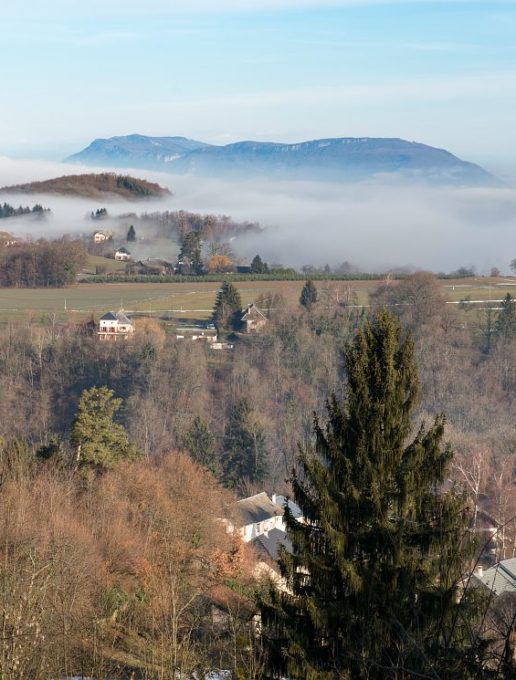
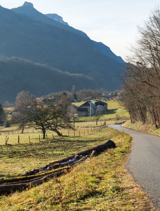
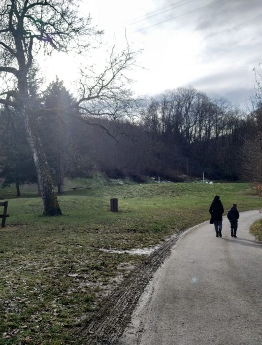
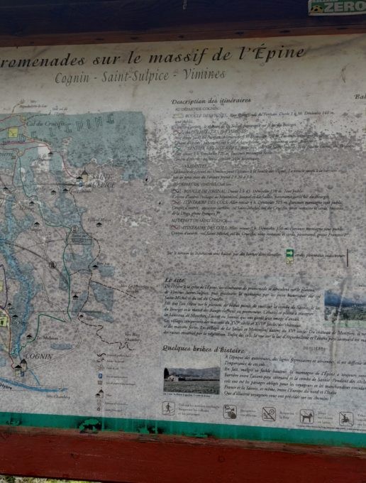
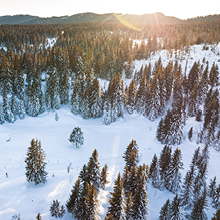
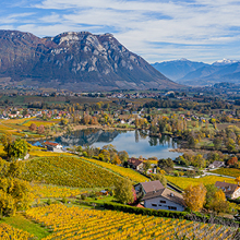
For a Sunday stroll, escape along the vineyard path, between small woods and hamlets. On the way back from this easy, mostly paved loop, enjoy the Forezan park with its facilities for young and old.
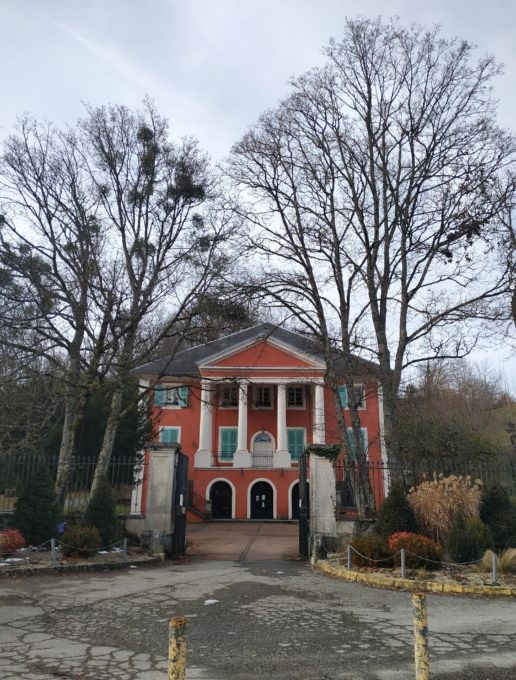
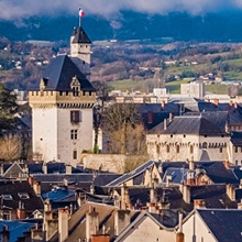
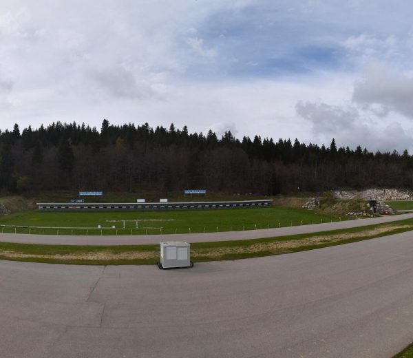
D/ Château du Forezan parking lot - Cognin
1/ Take the tarmac road along the stream on your right. The playground is on the left.
At the intersection, 200m further on, continue straight ahead on the asphalt road.
2/ Follow the yellow/green markings on the signpost.
After about 100m, leave the road and take the path on the right that climbs into the forest (yellow/green markings).
3/ Continue uphill for 500 m. Pass the small wooden steps, then return to the asphalt road.
4/ Follow the yellow/green (and visual "bunch of grapes") signs.
At the crossroads, go straight on for 50 m.
5/ Take the road on your left, "Route de La Sallaz".
6/ At the next intersection, turn left.
7/ At the next junction, "Montpas - Route des Bisettes", turn left in the direction of "Cognin" indicated on the yellow sign, then follow the signs on the posts.
8/ Take the descent onto the tarmac road.
9/ At the crossroads, turn left onto the "sentier des vignes" and join the small dirt track.
10/ Follow the yellow/green markings back to the asphalt road.
Continue straight ahead. The road will go downhill.
11/ Once you've passed a barrier, go around it and continue downhill until you reach the start of the circuit.
------------------------------------------------------------------------------------------------------------
90% tarmac roads on this route
D/ Château du Forezan parking lot - Cognin
1/ Take the tarmac road along the stream on your right. The playground is on the left.
At the intersection, 200m further on, continue straight ahead on the asphalt road.
2/ Follow the yellow/green markings on the signpost.
After about 100 m, leave the road and take the path on the right that climbs into the forest (yellow/green markings).
3/ Continue uphill for 500 m. Pass the small wooden steps, then return to the asphalt road.
4/ Follow the yellow/green (and visual "bunch of grapes") signs.
At the crossroads, go straight on for 50 m.
5/ Take the road on your left, "Route de La Sallaz".
6/ At the next intersection, turn left.
7/ At the next junction, "Montpas - Route des Bisettes", turn left in the direction of "Cognin" indicated on the yellow sign, then follow the signs on the posts.
8/ Take the descent onto the tarmac road.
9/ At the crossroads, turn left onto the "sentier des vignes" and join the small dirt track.
10/ Follow the yellow/green markings back to the asphalt road.
Continue straight ahead. The road will go downhill.
11/ Once you've passed a barrier, go around it and continue downhill until you reach the start of the circuit.
All year round.
| Elevation gain | 218 m |
| Nature of the ground | Not suitable for strollers |
| Way marking | Suivre le balisage jaune , les indications "boucle des vignes " ou "sentier des vignes" |
| Cartographic references | IGN 3333 |
| Animaux |
Pets allowed
Hosting conditions: Dogs must be kept on a leash. |
Play area
Picnic area
Public WC
Car park
Free car park
Pets welcome