Easy access
Your travel journalis empty
Damn, your travel book is empty!
Please use the buttonto add a place or an event to your favourites!
Morning
Afternoon

Parking de La Poste - 2 avenue de la Mairie
73230
Saint-Alban-Leysse
Locate on map
By car: park in the car park next to the Post Office.
By bus: from Chambéry city centre, take line D (towards Plaine des Sports) and get off at the "Saint Alban Centre" stop. More information on synchro.grandchambery.fr.
Go to the roundabout and turn right onto Place des Tournelles. Go straight ahead on Rue des Écoles and walk up to the car park.
04 79 33 42 47
Grand Chambéry Alpes Tourisme
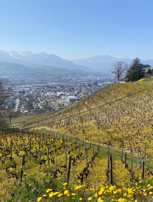
Take a family hike on the Razerel loop and discover the history, landscape and heritage of Saint Alban Leysse. In just a few minutes, this trail takes you from the town to the countryside, where you'll discover a wide variety of landscapes, from forests to vineyards.
D/ Car park next to the Post Office.
1/ Take the D9, passing the church and the Centre de Formation des Apprentis.
Continue, leaving chemin de la Salette and rue de Villeneuve on your right.
Take the route de la Bémaz, and very soon you'll find the path on your right, towards Four de Razerel.
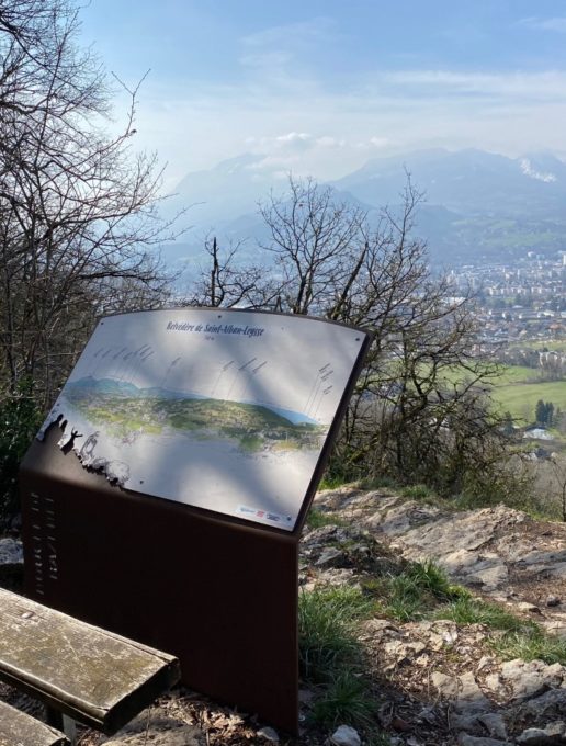
The path climbs quickly, but there are several benches where you can enjoy the view and (re)discover the animal tracks.
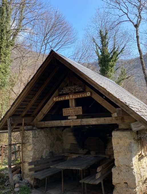
2/ After about 1h10 of walking, you come to the former hamlet of Razerel, now completely ruined and overgrown with forest.
Only the bread oven has been restored by local volunteers, making it an ideal spot for a break or picnic.
(Please respect the site and take all your garbage with you).
3/ Descend towards Monterminod.
You pass a spring.
At the next intersection, take "Monterminod par le chemin des Brûlins".
This part of the path follows the contour line and leads you to terraced meadows, with a splendid view of Mont Granier and the Chambéry basin (panorama sign).
4/ At the next intersection, take the Chemin de la Rate into Monterminod.
Follow the signs to reach the D9 road and your starting point.
(Please note: The route description is for a clockwise loop, whereas the map shows a counter-clockwise route).
D/ Car park next to the Post Office.
1/ Take the D9, passing the church and the Centre de Formation des Apprentis.
Continue, leaving chemin de la Salette and rue de Villeneuve on your right.
Take the route de la Bémaz, and very soon you'll find the path on your right, towards Four de Razerel.
The path climbs quickly, but there are several benches where you can enjoy the view and (re)discover the animal tracks.
2/ After about 1h10 of walking, you come to the former hamlet of Razerel, now completely ruined and overgrown with forest.
Only the bread oven has been restored by local volunteers, making it an ideal spot for a break or picnic.
(Please respect the site and take all your garbage with you).
3/ Descend towards Monterminod.
You pass a spring.
At the next intersection, take "Monterminod par le chemin des Brûlins".
This part of the path follows the contour line and leads you to terraced meadows, with a splendid view of Mont Granier and the Chambéry basin (panorama sign).
4/ At the next intersection, take the Chemin de la Rate into Monterminod.
Follow the signs to reach the D9 road and your starting point.
All year round.
Subject to favorable weather.
| Elevation gain | 420 m |
| Nature of the ground |
Stone
Ground Not suitable for strollers |
| Way marking | Balisage jaune sur fond vert |
| Animaux | Pets allowed |
Pets welcome


