Easy access
Your travel journalis empty
Damn, your travel book is empty!
Please use the buttonto add a place or an event to your favourites!
Morning
Afternoon
Eglise de Barby
73230
Barby
Locate on map
By car: park in the town hall car park.
Walk past the primary school, up Avenue Principale and turn left into Avenue de l'Église.
By bus: from the centre of Chambéry, take line B (direction Roc Noir) and get off at the "Monférine" stop. More information on synchro.grandchambery.fr.
Walk up the Avenue Principale and turn left into the Avenue de l'Église.
04 79 33 42 47
Grand Chambéry Alpes Tourisme
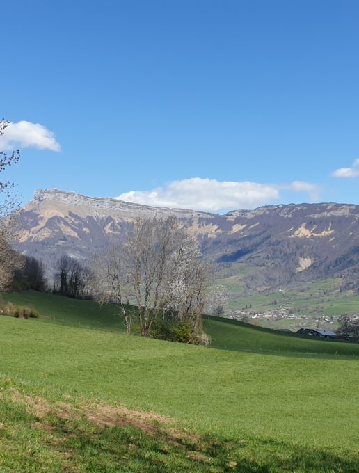
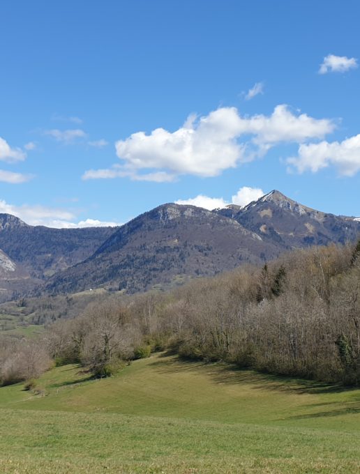
Near the town, through undergrowth and clearings, approach Mont Saint Michel by strolling through the dry grasslands surrounding the farms. Finish the tour in the pretty spa town of Challes-Les-Eaux.
D/ Church parking lot,
1/ Turn left out of the parking lot, then right onto the Route du Château (passing the public wash-houses), then take the Chemin des Chavonnes.
2/ At the end of the tarmac road, follow the Miat circuit along a steep, stony path through the Barby woods for around ten minutes (beware of recent rainfall, as the path may be soaked with drips).
At the intersection, turn left and follow the Chemin de la Miat along the Roman road.
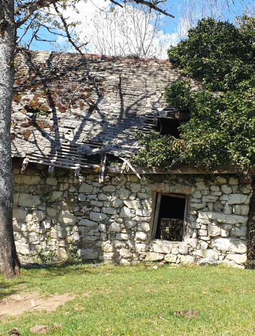
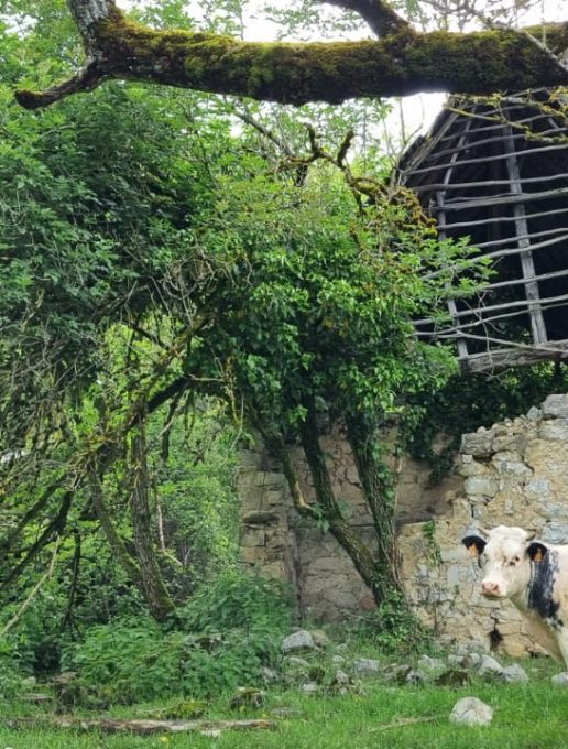
3/ Then take the path on the right just after the ruined house and follow the stony, narrow "voie romaine", "chemin de la Miat".
4/ At the small intersection (bend), turn left and follow the yellow markings on a green background through the woods, the path is narrow but less stony (beware, in autumn the ground can be slippery with leaves).
At the "Le roc du petit Essart" sign (altitude 630 m), turn right and follow the signs to the Maquis stele.
5/ At the Chemin de la Paraie sign, turn right, following the signs for "Barby et Challes par Bellevarde".
The path leads to a vast clearing with a view of Mont Saint Michel, Mont Granier to the right and "La croix du Nivolet" just behind.
Continue into the meadow, and at the fork, turn left to the stele, still following the yellow markings.
6/ At the stele and the "ferme des résistants" (former building where one of Savoie's first maquis was established in August 1942), head for Bellevarde, the last climb before starting your descent to Challes.
At the end of the climb, turn right.
The path downhill is pleasant and offers an unobstructed view of the Camelot gorge and, further down, the Challes-Les-Eaux airfield.
Caution: do not cross the pastures, but follow the main path.
7/ Continue along the path past the Bellevarde farm.
After the farm, stay on the main path.
At the bottom of a bend to the right, in front of the dry grassland of Les Plantées (explanatory sign), there's a bench where you can take a break and enjoy a view of the valley and Mont Granier.
After this short break, retrace your steps and return to the path.
8/ At Chanet (altitude 415m), turn left towards Triviers.
At the next signpost, follow the signs for St Jeoire-Prieuré - Boisserette and continue downhill through the undergrowth (where wild boar roam) to the "Triviers reservoir" sign, then follow the "Triviers 10 minutes" sign.
9/ Once you're back on the tarmac road, turn left to reach the Château de Triviers (on the right, you can hear the roar of the "La Furieuse" waterfall).
>>Hundred-year-old trees, including huge redwoods, surround a building constructed in 1550. Converted into apartments in 1995, the Château de Triviers has been a stronghold, a boarding house, a furnished apartment, a vacation camp and a hotel over the years >>.
10/ Cross the park. At the end of the pond, take the tree-lined driveway which runs in a straight line.
After the elegant casino (an Empire-style establishment built in 1883 on the site of marshland according to plans drawn up by architects Pelaz and Charmot), continue in the direction of the spa, passing the restaurant "Le chalet du mini golf".
>>Implanted in a park with century-old trees, the Thermes has retained the charm of the thermal baths of the 1900s. Its glass roof, mosaics and enamel decorations house treatment facilities
for respiratory and gynaecological treatments, using some of the most sulphurous water in Europe.
N.B.: If you feel tired, you can take the bus back to Chambéry city center on line C (Challes Centre stop at the bus station).
A little extra: After the thermal baths, you can make a detour to the leisure center. At the roundabout, turn left and follow the signs for the municipal campsite, then "Base de loisirs de Challes".
In summer, you can cool off in the bathing area (lake) and enjoy a snack at the refreshment bar.
11/ Near the spa, take the "montée du château" (next to the hotel and gourmet restaurant "Le château des Comtes de Challes"). Continue up to the end of the asphalt road.
Follow the Chemin des Ruffines and then the signs for Barby (30 minutes).
12/ On the way back, you'll pass by the former hospice cellar.
A little before Barby, you can arrive either via the Chemin des Chavonnes or the Route du Château.
All year round.
| Elevation gain | 588 m |
| Complément accueil | Hiking shoes recommended. The trailhead can be slippery in wet autumn weather (due to leaves). |
| Nature of the ground |
Stone
Ground Not suitable for strollers |
| Way marking | Balisage jaune |
| Cartographic references | TOP 25 IGN 3332 OT |
| Animaux |
Pets allowed
Hosting conditions: Dogs must be kept on a leash due to the presence of herds on the Bellevarde farm side. |
Car park
Free car park
Pets welcome
