Easy access
Your travel journalis empty
Damn, your travel book is empty!
Please use the buttonto add a place or an event to your favourites!
Morning
Afternoon
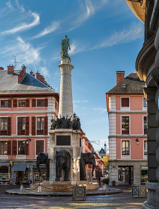
Annecy
74000
Annecy
Locate on map
04 79 54 84 28
Grand Chambéry Alpes Tourisme
6 days of gentle roaming, from station to station, across the entire Bauges massif. In the heart of the Savoie region, an original link between the two Savoyard capitals, Annecy and Chambéry!
1/ DAY 1: Annecy - Semnoz / Time: 6h35 / D+ 1320 m / D- 130 m / Distance: 15km / Difficulty: Red
2/ DAY 2: Semnoz - Mont-Devant (Bellecombe en Bauges) / Time: 5h20 / D+ 565 m / D- 1179m / Distance: 14.6km / Difficulty: Red
3/ DAY 3: Bellecombe - Le Châtelard / Duration: 4h / D+ 500 m / D- 900 m / Distance: 15.8km / Difficulty: Blue
4/ DAY 4: Le Chatelard - Aillon-le-jeune / Duration: 6h30 / D+ 1260 m / D- 860 m / Distance: 18.6km / Difficulty: Red
5/ DAY 5: Aillon le jeune - Les Déserts (La Combe)/ Time: 5h / D+ 930 m / D- 930 m / Distance: 13 km / Difficulty: Red
6/ DAY 6: Les Déserts - Chambéry / Time: 3h45 / D+360 m / D- 980 m / Distance: 112.5 km / Difficulty: Red
From 01/06 to 30/09/2024.
Subject to favorable weather.
| Elevation gain | 4788 m |
| Dénivellation négative | 4961 m |
| Nature of the ground |
Stone
Ground Not suitable for strollers |
| Way marking | GR - GRP - PR |
| Cartographic references | IGN Top 25 - 3432OT Massif des Bauges IGN Top 25 - 3332OT Chambéry |
