Footpath Tannes et glacières of Margériaz

Discover
  • Équipements
  • Footpath Tannes et glacières of Margériaz

Practical information

Starting point

Place à Baban
73340 Aillon-le-Jeune
Locate on map

Head for Margériaz and, at the bend before you reach the resort, turn left at "Place à Baban", where you'll see a sign for "Sentier des Tannes et Glacières".

Phone

04 79 54 63 65

Contact

Contact us

i Information

Grand Chambéry Alpes Tourisme

web

Website Facebook

Share this article:

Level bue - Medium
4h30
5 km
Loop

Presentation

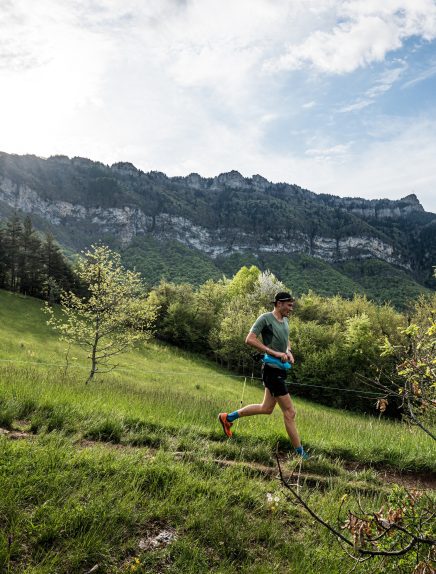
Margeriaz's vast limestone plateau abounds in holes called "tannes". An often strange and always spectacular landscape has emerged and keeps changing before our eyes: the karst. This waymarked walking route has 9 information boards.

From the "Place à Baban" go up into the forest by following the discovery trail logo, cross a rocky labyrinth.
At point 4 on the "Grand Raffou" 1,590 m (Refou on the IGN map), it's possible to turn off at the "Chalets de la Bergerie" to follow the short loop walk, otherwise the route leads towards the crest and offers a panoramic view of the surrounding peaks.
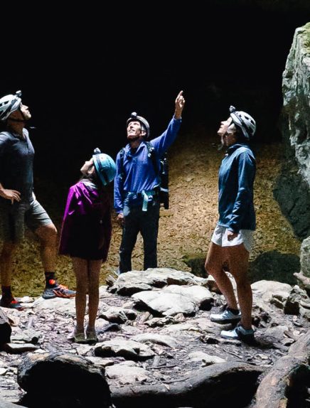
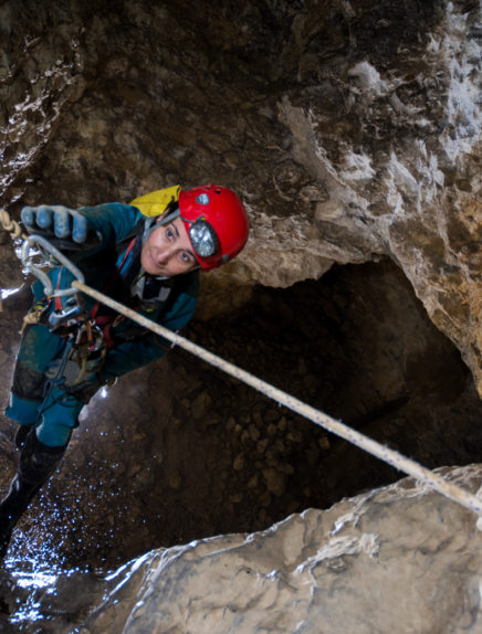
At point 6 of the markings the discovery trail continues to descend, but you can also prolong it up to the crest then to the top (100 m more to climb). After a return trip, go back on the discovery trail which you follow downhill to arrive near the "Chalets de Margériaz". The trail goes into the forest, passes beside the "Tannes aux Cochons" (chasm where potholing is possible) and other different chasms then returns to the starting point.

A guide book is on sale in the Tourist Offices for €2.50.
There is also a shorter loop walk: 200 m difference in height (2 hrs return trip).

Guidebook with maps/step-by-step

1/ Du parking suivre le balisage du GRP Tour des Bauges et du sentier de découverte. Le sentier monte dans la forêt du Margériaz au fil des étapes du sentier thématique de découverte du karst. 2/ Au carrefour sur le Grand Rafou, déboucher dans l’alpage (possibilité d’écourter la randonnée en partant à droite vers la bergerie) et poursuivre l’ascension dans l’alpage. 3/ Atteindre les crêtes et les longer vers la droite jusqu’au sommet de Margériaz en passant près du beau site du pont de Pierre. 4/ Du sommet redescendre vers l’arrivée du télésiège de la Bergerie. 5/ Le contourner par la gauche puis passer sous la remontée mécanique pour rejoindre par une sente dans l’alpage les chalets de la Bergerie du Margériaz. 6/ En contrebas de la bergerie viser une grande croix au-delà de la remontée mécanique de l’Alpage puis rentrer en forêt. 7/ Poursuivre la descente sur le sentier de découverte en passant près du site de la Tanne au Névé et sa Spéléorando. 8/ Prendre pied sur la piste de la place à Baban et rejoindre le parking.

Opening

From 05/01 to 11/30 : open daily.

Itinerary

Elevation gain 420 m
Complément accueil An interpretation booklet is on sale at the following reception points for €2.50
at the Aillons-Margériaz tourist office: chef lieu, 73340 Aillon-le-Jeune and at the Chatelard tourist office: Avenue Denis Therme, 73630 Le Chatelard
Way marking Suivre les flèches sur fond rouge ou est écrit en rouge "sentier des tannes et glacières"
Cartographic references IGN 3432 OT Massif des Bauges
Animaux Pets allowed

Hosting conditions:
Les chiens doivent être obligatoirement tenus en laisse

Additional information

Service(s):

Pets welcome

Additional information on pricing:
Interpretation booklet on sale at Tourist Offices: €2.50.

Multimedia

Files:

Fiche détaillée de l'itinéraire © Grand Chambéry Alpes Tourisme
CARTE-COLLECTION-RANDO
Tracé gpx © Grand Chambéry

Contact form