Easy access
Your travel journalis empty
Damn, your travel book is empty!
Please use the buttonto add a place or an event to your favourites!
Morning
Afternoon
Parking de la Salle des fêtes
73190
La Thuile
Locate on map
By car: park in the car park of the salle des fêtes of La Thuile.
04 79 33 42 47
Grand Chambéry Alpes Tourisme
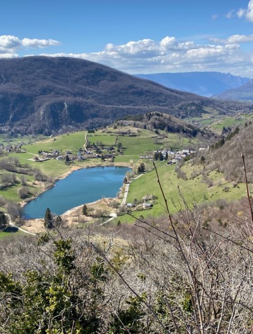
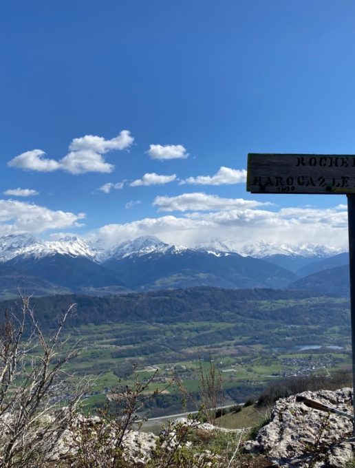
Walk between woods, rocks and lapiaz to discover this small, wild promontory. At the summit, one of the most beautiful views of Lac de la Thuile awaits you, inviting you to pull your first spring picnic out of the bag.
This very popular location offers a very pleasant setting just a few dozen minutes from the Chambéry basin. When you arrive, please respect the parking spaces provided. Cars parked outside the spaces are likely to obstruct traffic, and particularly emergency services. Keep to the paths: grass that has been flattened by trampling is unworkable for the farmer.
Bivouacs are not permitted on this enchanting site.
D/ La Thuile village hall parking lot
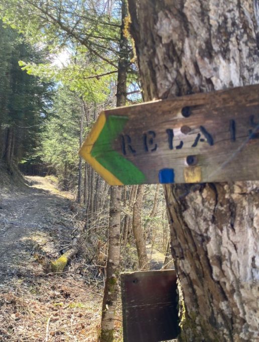
1/ From the village center, walk to the church and take the signposted path (yellow and green) up to the Col de Marocaz.
2/ After about 1 km, at the crossroads, follow the sign "Relais".
This is an antenna, which you reach fairly quickly.
Here the path becomes a wide, partly asphalted forest track.
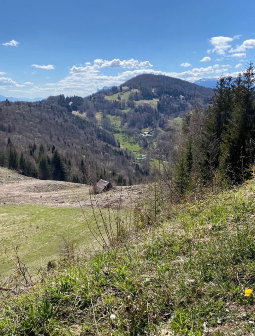
3/ After 15 minutes, you reach a large cleared area from which the panorama opens up.
Leave the forest track leading to Marocaz and descend the path below.
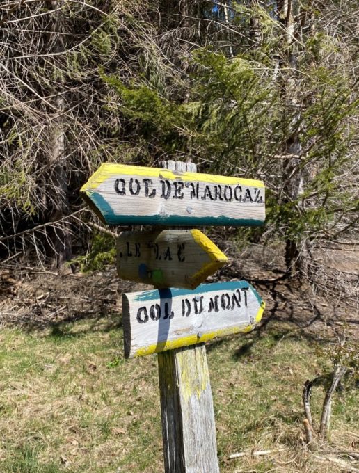
Look for the "Col du Mont" sign.
4/ Follow the path as it winds through rocky areas to reach the Rochefort promontory, indicated by a wooden sign.
The view over the Belledonne chain and the Bauges massif is magnificent. Be very careful when approaching the rocky bars.
5/ Follow the yellow marks on the rocks to start the descent.
Leave the paths leading towards Le Lac or Marocaz, then climb slightly up to the ridge to almost reach the Col du Mont.
From here, descend directly to Lac de la Thuile. Turn left onto the small tarmac road, then right onto the signposted footpath which runs alongside the lake and diverges slightly to reach the multi-purpose hall. Follow the road down to the village center.
From 15/04 to 15/11.
Subject to favorable snow and weather conditions.
| Elevation gain | 300 m |
| Tricky sections | Attention aux barres rocheuses non sécurisées aux abords du sommet de Rochefort. Quelques petites zones de lapiaz à traverser. |
| Nature of the ground |
Rock
Ground Not suitable for strollers |
| Way marking | Peinture Jaune et Verte |
| Cartographic references | TOP 25 IGN 3432OT Massif des Bauges |
| Animaux |
Pets allowed
Hosting conditions: We strongly recommend that you keep your dogs on a lead, especially when approaching farming areas. |
Pets welcome
