Easy access
Your travel journalis empty
Damn, your travel book is empty!
Please use the buttonto add a place or an event to your favourites!
Morning
Afternoon

5 bis place du Palais de Justice
73000
Chambéry
Locate on map
A 43
04 79 33 42 47
Grand Chambéry Alpes Tourisme
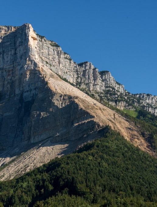
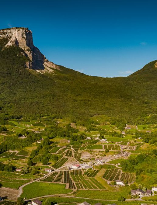
845 Points – The Col du Granier via Chapareillan is a strenuous climb, including almost 10km at a 9% incline! The road winds through the forest, with the formidable north face of the Granier towering above. Refreshments available at the top of the Col.
A well-known climb for local climbers. It also offers the possibility of a loop in the Chartreuse massif or a more leisurely descent via the Pas de le Fosse towards Chambéry.
All year round.
Subject to favorable weather.
| Elevation gain | 940 m |
| Dénivellation négative | 80 m |
| Cartographic references | Savoie Mont Blanc cycling map available from the tourist office. |

